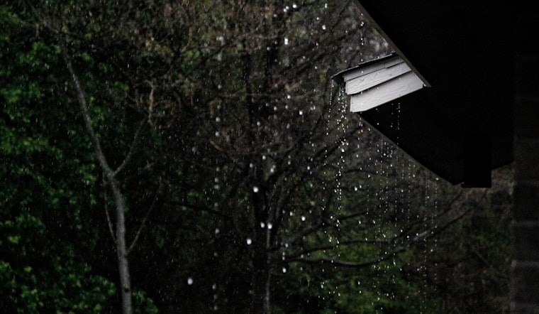
Portland is squeezing in one more taste of spring warmth before the faucet flips back on. Monday starts off mild and calm, with metro temperatures already in the mid 50s under mostly sunny skies. The city should climb into the low to mid 70s this afternoon before clouds thicken this evening and rain chances ramp up after about 5 p.m. From there, the pattern turns cooler and showery for much of the week, with Tuesday and Wednesday set up as the wettest days.
Warm Monday, Soggy Midweek Setup
Look for a mostly cloudy afternoon with a high near 75°F and a chance of light rain late in the day, while winds stay light out of the west northwest. Tonight, temperatures drop to around 52°F as shower chances continue to creep up. Rain becomes more likely on Tuesday, when highs slip to around 62°F, then cools further on Wednesday with highs in the upper 50s. Most lowland spots are on track to pick up a few tenths of an inch of rain through midweek, with higher totals favored over the Coast Range and Cascades, according to NWS Portland.
Boaters And Commuters
A Small Craft Advisory is in effect for parts of the coastal waters and the Columbia River Bar this morning because of strong ebb currents and building seas, so smaller boats are better off staying tied up until conditions back off. Mariners should check local bar conditions before heading out, and drivers should plan on slower, wetter commutes Tuesday and Wednesday as showers become more widespread. For current hazards and marine details, see the NWS.
What To Pack
Short sleeves today, rain gear tomorrow. Keep a compact umbrella or rain jacket handy for midweek plans and build in extra travel time on Tuesday and Wednesday. Drier, warmer weather is expected to return by Thursday as high pressure rebuilds.


