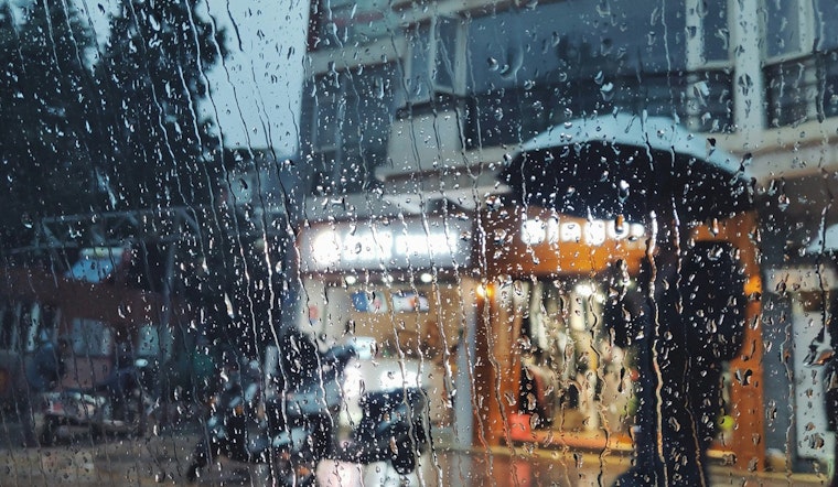
Seattle woke up to a familiar mood this Wednesday morning: light rain on the windows, fog hanging low, and a blanket of clouds keeping things gray and cool. Thermometers hovered near 52°F at Boeing Field, and most city streets were wet and shiny under the early commute. Visibility is reduced in spots, so drivers are urged to give themselves extra time and keep an eye out for standing water on surface streets.
Rain Timing And Totals
Rain is likely through much of the morning before gradually tapering off after about 3 p.m. Wednesday. Most neighborhoods can expect between a tenth and a quarter of an inch of new rain, with some pockets, especially in the lowlands and the South Sound, potentially picking up as much as a half inch by tonight. Slick roads and lower visibility are on tap during the heavier bands, according to the National Weather Service Seattle.
Afternoon Winds And Commute
As the day wears on, south southwest winds are expected to crank up, with sustained speeds around 6 to 13 mph and gusts reaching 20 to 30 mph, particularly across the South Sound and in Puget Sound convergence areas. Those gusts can slow ferry loading and make cycling or scooter trips a bit dicey, so it is a good idea to secure loose patio furniture and garbage cans before mid afternoon. Travelers heading through Seattle Tacoma International Airport should be ready for lower cloud ceilings and occasional slowdowns.
Boaters And Coastal Waters
Out on the water, Small Craft Advisories are in effect for the central Strait of Juan de Fuca until 8 a.m. Wednesday, for Puget Sound and Hood Canal through 8 p.m. Wednesday, and for coastal waters from 11 a.m. Wednesday to 11 a.m. Thursday. Coastal seas are forecast to build to roughly 11 to 15 feet, with near rough bar conditions at Grays Harbor, so small open boats should steer clear of exposed areas. Boaters can find current marine headlines and safety guidance from the National Weather Service Seattle.
Thursday Into The Weekend
The system slides east overnight, and a drier, warmer pattern builds Thursday and into the weekend. Highs should reach around 60°F on Thursday and climb into the mid 60s by Friday and Saturday. That will offer a welcome window for outdoor plans and at least a bit of sunshine after a soggy stretch. See how brighter skies line up in our April 21 preview for background on the pattern shift. Nights will run cooler, with lows in the low to mid 40s.
What To Do This Morning
On the roads, slow down on wet pavement, leave extra time for the commute, and use headlights in fog to boost visibility. Before longer trips, check current road and incident reports on the WSDOT travel map, and call ferry operators or marinas before heading out on the water. If you have outdoor plans today, pack rain gear and be ready for intermittent gusts through the afternoon.


