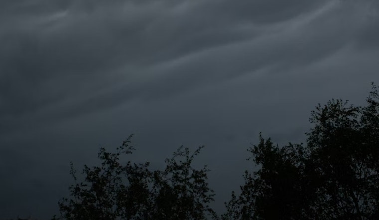
Salt Lake City wakes up under a gray lid of clouds on Wednesday, April 22, with temperatures parked in the mid‑50s. Scattered showers and a few thunderstorms are on tap through the day, with a daytime high near 58°F before readings slide back into the mid‑50s once the steadier rain moves in during the afternoon. Brief downpours and gusty winds could throw a wrench into the afternoon commute, so expect slower travel times and a few frazzled nerves.
Afternoon Winds Pick Up
South‑to‑southwest winds build through the morning and turn downright gusty by Wednesday afternoon, with gusts up to about 50 mph possible in eastern valley and canyon areas between roughly 10 a.m. and 6 p.m. Showers and thunderstorms stay in the picture through the day, and some spots will see heavier downpours. Up north in the higher terrain, the mountains are set to collect a few inches of wet snow by Thursday evening. The National Weather Service has posted timing and advisory details. See the National Weather Service and the forecast discussion for full watches and warnings.
Late‑Night Freeze Risk
Once clouds start to thin out Wednesday night, radiational cooling will let valley floors drop into the upper 30s to low 40s, triggering a Freeze Warning for parts of central and southwest valley floors late Wednesday night into Thursday morning. Gardeners will want to cover sensitive plants and drain hoses before heading to bed. In the most sheltered low spots, temperatures may slip close to freezing, raising the chance of a few icy patches on quieter side streets early Thursday.
Plan Ahead
Take a minute to secure loose outdoor items and allow extra travel time during the afternoon commute, since canyon routes and stretches of I‑15 could be both gusty and slick under heavier cells. Before you hit the road or head to the airport, check updates from the National Weather Service and local road or airport pages so the weather does not catch you off guard.


