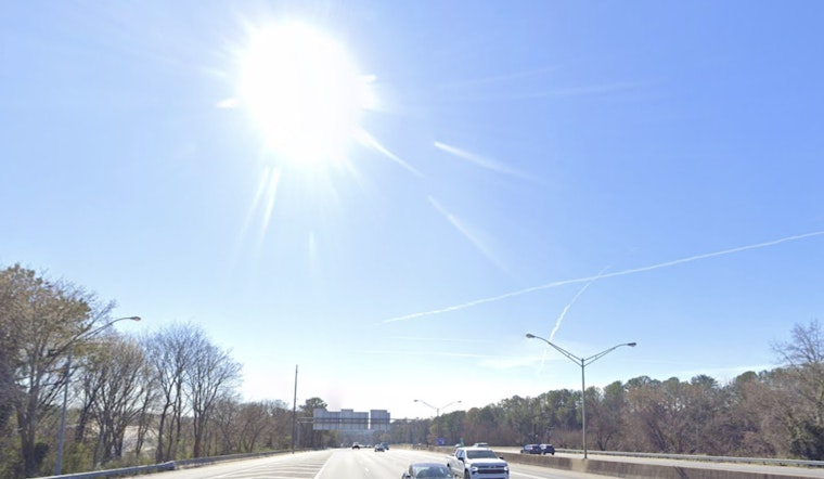
Tuesday, May 5, 2026, starts out calm and comfortable in Atlanta, with clear skies over Hartsfield‑Jackson and a cool morning low near 57°F. That chill will not last long: sunshine sticks around and helps push afternoon highs to about 80°F. South winds stay on the lighter side overall, but occasional gusts near 20 mph will make it feel a bit breezier than the early morning.
Afternoon Winds Pick Up
Through much of the day, south winds run about 0–10 mph, then pick up later, with gusts that could nudge 20 mph. That is enough to tug at loose patio umbrellas and give taller vehicles a little nudge on open stretches of road. Tonight looks mild and partly cloudy, with lows settling in the low 60s, a comfortable setup for dinner on the patio or a late run to the store.
Midweek Storms Could Be Strong
By Wednesday, clouds build in, and showers and thunderstorms become likely from the afternoon into the evening. A few storms could strengthen to strong or severe levels, bringing the potential for damaging wind gusts. According to NWS Peachtree City, some spots, especially along the I‑20 corridor, could see up to 2 inches of rain in roughly 12 hours, which would raise the risk of urban flash flooding and ponding on roads.
Plan For Disruptions
If you have outdoor plans Wednesday night or need to be on the road early Thursday, line up a backup plan and allow extra travel time. Heavy downpours could slow the I‑20 commute and trigger localized flooding on familiar trouble spots. For more context and yesterday’s setup, check out our May 4 briefing.


