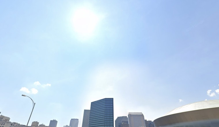
Thursday, May 14 — New Orleans woke up to clear skies and comfortable low 70s this morning, with temps on track to climb toward a warm, late-afternoon high near 85. A light north breeze is helping keep the humidity in check, so it will feel toasty but not swampy.
This Afternoon And Tonight
Sunshine sticks around through the afternoon, with highs topping out near 85 and a gentle north wind around 5 mph. Tonight stays mostly clear, with temperatures dipping to around 68 before nudging back into the low 70s overnight on light east winds. No watches, warnings, or advisories are posted for the metro area, according to the National Weather Service.
Weekend Outlook
The warm, mostly dry pattern hangs on into the weekend, with highs in the mid-80s both Saturday and Sunday as high pressure slides east and winds turn onshore Friday into Saturday. Isolated to scattered afternoon showers could start popping up Sunday, mainly west of I-55, with slightly better chances for thunderstorms Tuesday into Wednesday. Rain totals are expected to stay on the light side, and forecasters do not anticipate significant hazards this weekend, per the National Weather Service.
What This Means For Locals
It is a green light for outdoor plans and the daily commute, but you will want sunscreen and a refillable water bottle once those mid-80s highs kick in. Boaters and folks headed to the lake or riverfront should be ready for a few breezy spells, though no broad marine advisories are in the cards right now. If you are planning to be outside Sunday or early next week, toss a light rain jacket in the bag in case one of those isolated storms wanders over your neighborhood.


