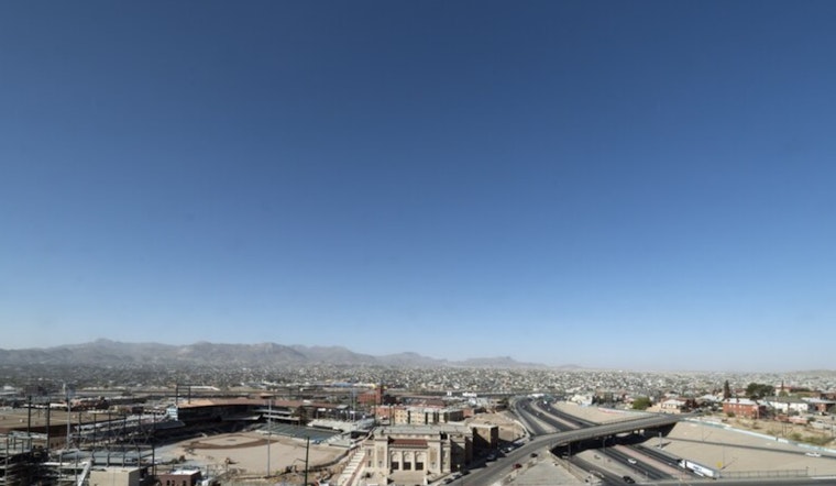
El Paso woke up clear, dry, and already warm on a Sunday morning near El Paso International, with temperatures hovering around 70°F and the lowlands on track for a high near 91°F on May 17. By afternoon, strengthening west-southwest winds are expected to kick up blowing dust, which could briefly reduce visibility along the I-10 corridor.
Afternoon Winds Pick Up
West-southwest winds will ramp up through the midday hours, with sustained speeds generally in the single digits to teens and afternoon gusts reaching into the upper 20s to low 30s. Patchy blowing dust looks most likely after noon in exposed desert stretches, especially around Deming, Lordsburg, and other open segments of I-10, where visibility on the highway can drop fast. Forecasters already flagged this gusty pattern in a recent update. See our earlier fire-danger update for more context.
Red Flag Warning And Fire Risk
The National Weather Service has issued a Red Flag Warning for El Paso County from noon to midnight Sunday, along with a Fire Weather Watch for Monday afternoon and evening. The agency notes southwest winds of 20 to 30 mph with gusts up to 50 mph and relative humidity possibly dropping to around 5 percent, a combination that would let any fire spread quickly. Outdoor burning is not recommended, and residents are urged to secure loose yard debris and hold off on brush-clearing until conditions calm down, according to NWS El Paso. If you have outdoor projects on the schedule, it is safer to move them to a quieter day or wrap them up earlier this morning.
Safety Tips For Drivers And Outdoor Plans
Drivers who run into a dust plume should slow down, turn on headlights, and pull well off the road until conditions improve. Experts stress that you should never drive directly into a wall of dust. El Paso County already has an order in place that bans outdoor burning in unincorporated areas, so yard burns and fireworks need to wait while the Red Flag Warning is active. Details are available from El Paso County. Travelers are also advised to check with their airline or the airport before heading to El Paso International during the windiest afternoon and evening hours.
Looking Ahead
Winds should gradually ease by Tuesday as high pressure builds in, with high temperatures holding in the upper 80s to low 90s through the rest of the week. There is a slight chance of showers and thunderstorms east of the El Paso area later in the week, although the city itself is expected to stay mostly dry, according to local forecast guidance from the National Weather Service.


