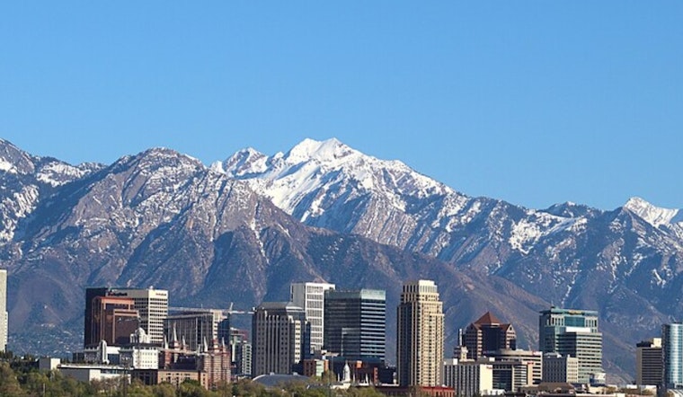
Clouds, chill, and a few stray showers are kicking off Wednesday at Salt Lake City International Airport (KSLC), with temperatures hovering around 45°F on May 6. A couple of quick rain showers are still possible before mid-morning, but skies are expected to brighten and help push afternoon highs into the low 60s across most valley neighborhoods.
Morning Notice: Showers and Freeze Warning
Isolated overnight showers, along with a few lightning strikes, moved across northern Utah but should wind down by midday. A Freeze Warning remains in effect until 9 a.m. MDT Wednesday for some outlying valleys, including Cache Valley and parts of the western Uinta Basin, so residents there should protect sensitive plants and exposed pipes, according to the National Weather Service Salt Lake City.
Afternoon Sunshine and Midweek Warmup
Clouds should break through the day, with a high near 62°F and a light north-northwest breeze around 5–12 mph. A ridge of high pressure builds quickly after that, sending temperatures into the upper 70s on Thursday and Friday — a warmup we first flagged in our earlier warmup tease, as per Hoodline.
Heat Surge Next Week
By Sunday, highs could climb into the low 80s, followed by an even stronger push of heat Monday and Tuesday with forecasts near 90–91°F. That stretch could deliver one of the earliest 90-degree days on record for Salt Lake City, according to the National Weather Service Salt Lake City.
What To Do
Cover sensitive plants in low-lying valleys tonight and plan on chilly mornings but warm, dry afternoons through the weekend. For outdoor plans early next week, try to schedule strenuous activities in the morning or evening and keep water handy as temperatures spike.


