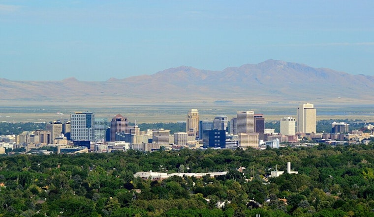
Salt Lake City started Saturday, May 2, under clear skies, with temperatures in the mid-40s at the Salt Lake City airport. Sunshine is expected to nudge afternoon readings into the low to mid 70s, setting up comfortable conditions for most outdoor plans.
Sunny Saturday, Toastier Sunday
Saturday should stay mostly sunny with a high near 74°F before clouds creep in Saturday night and lows slide into the upper 40s. Sunday looks a bit warmer, with highs pushing toward 77°F and only a slight chance of clouds for most valley neighborhoods.
Thunder Chances Monday And Tuesday
A closed low moving across the region will raise shower and thunderstorm chances on Monday, May 4, and again on Tuesday, May 5. The National Weather Service notes that storms could be high based, with strong outflow gusts that may reach about 50 mph locally, along with brief heavy rain that can quickly cut visibility.
Gusty Cells Could Disrupt Errands
If you have errands or outdoor events lined up early next week, it is worth building in extra time and a backup plan, since quick-hitting downpours and gusty outflows could briefly disrupt travel and activities. As we noted in an April 11 breakdown of similar pop-up downpours, cells that develop in this pattern can unload short bursts of heavy rain in rain-prone spots.
Freeze Warnings Away From The Capital
Even with the warmup in the Salt Lake Valley, Freeze Warnings remain in effect through 9 AM MDT Saturday for portions of central and southwestern Utah, primarily the Sanpete and Sevier valleys and parts of the I-15 corridor between Nephi and Cedar City, so sensitive plants and exposed outdoor plumbing still need protection. Salt Lake City itself is not under those warnings and should stay mild through the weekend, with drier conditions for most neighborhoods.
Bottom line: enjoy the sunny, warm weekend, but keep an eye on the forecast for Monday and Tuesday and secure loose outdoor items if those thunderstorms roll in.


