Miami woke up Tuesday, May 19, 2026, to light rain, muggy air and a warm start near 79°F. Scattered showers and thunderstorms are expected through the morning and into the afternoon, with a high near 84°F and an east wind around 15 mph and gusts up to 21 mph. Any slow-moving storms could dump brief heavy downpours with frequent lightning and cause short-lived street ponding in the usual low spots.
Rip Currents Keep Beaches Risky
Beachgoers should stay on alert, as lifeguards along coastal Broward and coastal Miami-Dade continue to post warnings while persistent onshore easterly flow keeps the surf rough and rip-prone. Earlier this week, rip currents roared under a similar setup, and local posts are still urging swimmers to stick to lifeguarded areas and obey the flag system. If you get caught in a rip current, the advice remains the same: float, signal for help and avoid trying to power straight back to shore.
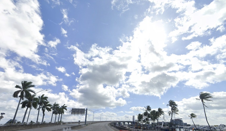
Afternoon Gusts And Marine Caution
According to the National Weather Service, easterly winds around 10 to 15 mph with higher gusts will keep seas choppy and may create Small Craft Exercise Caution conditions on the Atlantic waters, with Atlantic seas generally in the 2 to 4 foot range. The forecast office also highlights a widespread Moderate HeatRisk for urban areas through the end of the week, and notes that scattered afternoon storms will favor interior and southwest Florida where sea-breeze collisions set up.
What To Do Today
Grab an umbrella for spotty downpours and build in extra travel time this afternoon, since heavier bursts of rain can quickly cut visibility and cause fast ponding on roads. Boats and beachgoers should secure loose gear and favor lifeguarded beaches, and when in doubt, sit out the choppy surf and wait for calmer conditions later in the week.


