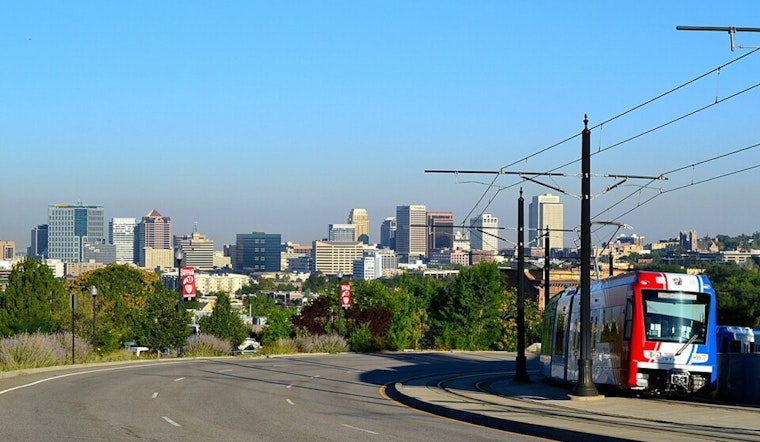
Salt Lake City rolled into Wednesday under mostly clear skies and comfy mid-60s temperatures, but the cool start will not last long. The city is headed for a hot, bright afternoon with highs near 86°F and south-southeast breezes that strengthen as the day wears on. Anyone planning to be outside will want to lean on morning hours or hunt for late-day shade during peak heating. A trough is still on track to slide through late in the week, which will knock temperatures down and bring a cooler, showery pattern by Friday into Saturday.
Afternoon Winds Pick Up
South-southeast winds are expected to ramp up to around 7 to 14 mph on Wednesday afternoon, with stronger gusts likely in exposed canyon mouths and valley gaps. The National Weather Service has a Wind Advisory posted for parts of western Utah through midnight MDT, so high-profile vehicles should use extra caution, and residents should secure any loose patio gear or lightweight furniture. The air will stay quite dry, which means the heat will feel sharper in direct sun. If your plans include canyon drives later today, keep an eye on short-range updates.
Late Week Cool Down And Storm Chances
By Friday, a passing trough will start to shake up the pattern, trimming back daytime highs and boosting chances for showers and isolated thunderstorms, especially Friday night into Saturday. Friday's high should land in the upper 70s with only isolated afternoon storms expected in the valley. Saturday looks noticeably cooler, with highs in the low 70s. Storms will favor the higher terrain, where brief heavy downpours and gusty outflow winds are the main concern. Valley spots may only see quick, spotty showers and some gusty winds if storms drift down from the mountains.
Fire Weather And What To Watch
Forecasters are also highlighting critical fire weather across portions of southern and eastern Utah. Red Flag conditions are in place for the Henry Mountains and Grand Staircase area from noon Wednesday through Thursday evening. If you are headed that way, avoid open flames and double-check local burn restrictions since county officials can post burn bans on short notice. For more background and yesterday's wind briefing, see afternoon storms and howling gusts, as per Hoodline. We will update this post if advisories change.


.jpg)