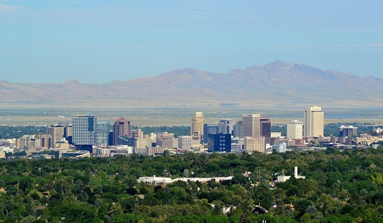
Salt Lake City is starting Sunday on a mellow note, with clear skies and comfortably cool air greeting early risers. As of early Sunday, the airport observation was reporting clear skies and temperatures near 52°F. Expect a pleasant mix of sun and passing clouds, a high around 77°F, and light southerly breezes through the afternoon.
Storms Return Monday Afternoon
The calm stretch will not last long. Scattered showers and thunderstorms are most likely on Monday between noon and 3 p.m. MDT, according to the National Weather Service. Forecasters note these will be high-based storms capable of producing erratic outflow gusts up to 50 mph, especially over higher terrain and southern Utah, before the activity shifts north.
Gusty Outflow Winds
These cells are expected to pack more wind than rain. Local gusts are the primary concern rather than prolonged heavy downpours, though brief heavy rain or small hail could still pop up in the stronger storms. Any bursts of wind are likely to be sudden and short-lived, the kind that can topple unsecured patio furniture or turn a routine drive into a quick two-hands-on-the-wheel situation.
Cooler Tuesday Then Warmer
Behind Monday's action, temperatures should slide back toward seasonal norms on Tuesday, with highs in the mid-60s. After that, high pressure looks to rebuild over the region, sending afternoon highs back into the upper 70s later in the week. Wednesday and Thursday appear progressively drier, which should improve conditions for outdoor plans and evening activities.
Plan Ahead
If you have outdoor plans on Monday afternoon, it is a good idea to secure lightweight items and allow some extra time for travel, since sudden gusts and brief heavy rain can disrupt commutes. Current airport observations show clear skies near 52°F this morning; for live updates, see the National Weather Service.


