Seattle woke up Saturday, May 2 to mostly clear skies and that classic cool, damp air, hovering around 52°F at Boeing Field early this morning. But this is one of those weekends where you can leave the heavy jacket at home. A sharp warm-up is on the way, with Saturday headed for mostly sunny skies and highs near 71°F, especially in inland neighborhoods. By Sunday and into Monday, the pattern turns noticeably warmer, bringing the warmest readings so far this year to parts of the metro.
Afternoon Sunshine And Light North Winds
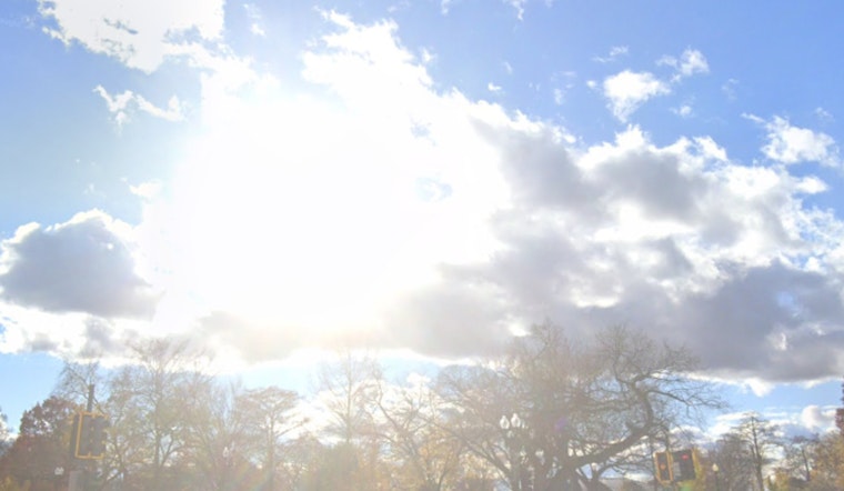
Clouds should thin through the morning, giving way to a mostly sunny Saturday afternoon. Expect light north winds around 2 to 10 mph and highs near 71°F. A thin marine layer may cling to the waterfront, while inland spots warm earlier and faster. Forecasts still show only a slight chance of a brief pre-dawn drizzle, and there are no watches or warnings in effect for the area.
Sunday And Early-Week Warm Spell
Sunday, May 3 is lining up to be the warmest day so far this year, with highs near 77°F. Monday, May 4 could nudge into the upper 70s, around 79°F in some inland areas. According to the National Weather Service, record highs are possible over the weekend, even though overnight cooling should keep most heat risk in the minor category. Light onshore flow is expected to return late Monday, trimming a few degrees off the highs compared with Sunday but still keeping the region warmer than in recent weeks.
What This Means For You
This stretch is tailor-made for patios, parks and knocking out errands without dodging raindrops. If you want to skip the warmest part of the day, plan outdoor work for mornings or evenings. Bring water and sunscreen, and keep in mind that inland neighborhoods like the U-District, Capitol Hill and other central areas will run a few degrees warmer than the waterfront. For more on how this warm-up took shape, check out our April 28 preview.


