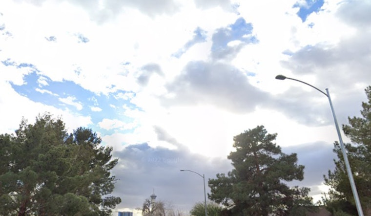
Seattle is starting Tuesday, May 5, 2026, under a cool, gray lid, with Boeing Field sitting in the mid-50s as a shallow marine layer pushes inland across Puget Sound. That low cloud deck should thin and scatter by late morning, setting up a sharp daytime split: sunshine and highs near 75°F across most of the city, upper-70s in interior neighborhoods, and a stubbornly cooler immediate coast stuck in the mid-60s. The low ceilings could slow some flights and make for a dreary early commute before the sun breaks through this afternoon. Onshore flow is expected to return overnight, so another round of low clouds is likely early Wednesday.
Morning Commute and Flights
Widespread low MVFR or IFR ceilings are expected at area terminals early Tuesday and may linger into the late-morning commute before lifting to VFR, with Sea-Tac and Boeing Field most likely to sit under the lowest ceilings. If you have an early flight or a ferry crossing, plan on a little extra buffer time and keep an eye on your carrier or terminal updates, since the timing of that burn-off can matter. Forecasters expect the stratus to retreat back toward the coast by midday. According to the National Weather Service Seattle, VFR conditions should return across most interior locations this afternoon.
Afternoon Sun and Where It Will Matter
Highs are forecast to top out around 75°F on Tuesday, May 5, 2026, with the warmest readings inland and on the Eastside, while Wednesday and Thursday are expected to stay above seasonal normals in the upper-60s to low-70s. Minor HeatRisk may affect some interior neighborhoods on the hottest afternoons, so it is a better bet to tackle yard work, long runs, or other outdoor chores in the morning or evening and keep water handy. A slight cooldown and a small chance of light showers are on the table by Friday, May 8, 2026. For background on the warm spell, see Seattle breaks out the shades.
Boaters Watch the Strait
Out on the water, Small Craft Advisories are posted around portions of the Strait of Juan de Fuca, where gusty westerly winds and choppy seas are expected, and forecasters have also highlighted a Gale Watch for Wednesday afternoon into late Wednesday night for the central and eastern straits. Boaters should plan crossings with extra caution and check the latest marine products before heading out, since conditions will be gustier offshore and along exposed passages through the middle of the week. Details and current advisories are available from the National Weather Service Seattle.


