Thursday, May 21 in Atlanta starts calm enough: clear skies over Hartsfield-Jackson, temperatures near 74°F, and a hint of early summer in the air. But that sticky, humid setup is about to flip the switch, with a stormy pattern expected to fire up through the holiday weekend. Highs should climb to around 84°F, and rain chances ramp up later today, so outdoor plans may need a backup.
Scattered showers could pop up through mid-morning, with the odds of thunderstorms going up between late morning and the 11 a.m. to 5 p.m. stretch on Thursday, May 21. Hourly outlooks point to the best shot at rain in the mid- to late-afternoon, when the strongest cells may deliver brief heavy downpours, frequent lightning and gusty winds.
Training storms, where one cell after another tracks over the same spot, could trigger localized flash flooding, especially on urban streets with clogged drains. According to the National Weather Service, daily rounds of showers and thunderstorms are expected through Memorial Day, with an isolated flash flood risk in low-lying areas.
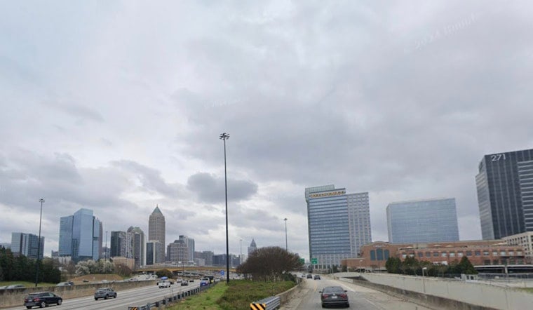
Atlanta already got a preview on Wednesday, May 20, when heavy storms produced rapid flooding, swamping parts of downtown and briefly closing lanes on the I‑75/I‑85 Downtown Connector during the evening commute, as reported by FOX 5 Atlanta. If you are headed downtown on Thursday, expect slower traffic and build in some extra time.
What To Expect Through The Weekend
Showers and thunderstorms remain in the picture each afternoon through Memorial Day (Monday, May 25). Highs will generally land in the low-to-mid 80s, with overnight lows holding in the mid-60s. Friday looks a bit breezier, with southeast winds around 5 to 10 mph and gusts up to about 20 mph, while Saturday and Sunday stay unsettled with more rounds of showers and storms.
Commute And Safety Tips
Do not drive through standing water - turn around, do not drown - and be ready to change your route if you run into flooded streets, especially near the Downtown Connector. Keep tabs on the forecast, keep rain gear handy and move sensitive outdoor plans indoors on days when storm chances are highest.
For live updates, check local traffic feeds and the National Weather Service before heading out. We will provide updates if warnings are issued or if travel conditions take a turn for the worse.


