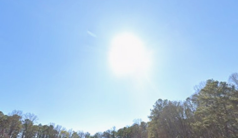
Atlanta is waking up to a classic spring morning on Sunday, May 3, 2026, with clear skies, a cool start in the upper 40s, and plenty of sunshine on tap. Afternoon highs are forecast to reach the low 70s across most of the metro, with light northwest winds around 5 mph keeping things dry and comfortable for anyone headed outside.
Afternoon And Week Ahead
Temperatures should top out near 71°F today, then slip back to around 50°F tonight. Monday, May 4, turns warmer with highs near 78°F, and by Tuesday, May 5, readings climb into the low 80s before a stronger chance of showers and thunderstorms moves in Wednesday into Thursday, May 6 and 7.
Meteorologists at the NWS Peachtree City say a dry airmass will drop relative humidity to around 30 percent this afternoon and evening and have flagged high fire danger for parts of north and central Georgia. They also note that frost is possible in the northeast Georgia mountains early Sunday morning.
Legal Implications
With fuels unusually dry, the state’s Summer Open Burning Ban is now in effect for many counties. The ban runs from May 1 through September 30 and prohibits most yard and land-clearing burns in the metro area, according to the Georgia EPD. If you plan to fire up the grill or enjoy a small recreational fire, keep it attended, have water within reach, and check your county’s specific rules or permit requirements before you strike a match.
Local Context
The dry spell around Atlanta has been building for a while, as covered in our earlier report on near-record heat and fire danger. For now, the clear skies should mean an easy evening commute, but it is worth keeping midweek plans flexible for Wednesday and Thursday, May 6 and 7, when showers and a few thunderstorms are likely.


