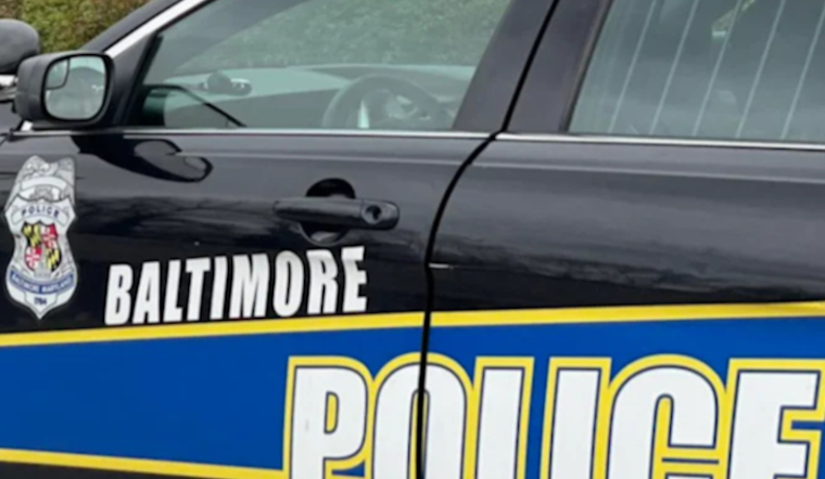
For the first time in nearly half a century, Baltimore has quietly redrawn the boundaries of its nine police districts, reshuffling which units answer 911 calls and where patrols are based. Police officials say the overhaul, driven by a multi-year analysis of calls, drive times, and demographic shifts, is meant to balance workloads and shorten response times across neighborhoods.
Analysts ran thousands of territory-design scenarios in Esri’s ArcGIS Business Analyst, weighing call volume, drive times, and 2020 census counts to reshape district geometry and clean up some long-standing quirks. The Esri newsroom describes how the team used police stations and hospitals as anchors, adjusted lines block by block, and checked with patrol officers when local experience conflicted with what the models suggested, as reported by Esri.
In a post on X, the Baltimore Police Department says the data-driven effort launched in 2022 and included maps and projected workload figures for each redrawn district. The department also notes that the teams behind the work are slated to present their approach at the Law Enforcement and Public Safety World conference, according to Baltimore Police.
How the lines were drawn
Staffers fed more than 200,000 crime records and five years of call data into territory-design tools, then weighed drive-time tradeoffs against call volume to produce districts that are more even in workload. The final rule required district boundaries to follow a single side of each road centerline so properties and structures are no longer split between posts, Esri reports.
Mapping and the dispatch stack
The department aligned the new geometry with its geocoder and the city’s 911 CAD so an address points to the same responder across systems, a change meant to reduce mis-dispatches and confusion. Those supporting layers and public maps are hosted through the department’s ArcGIS portal and the City of Baltimore’s GIS services, per the Baltimore Police GIS Unit and the city’s CAD feature server.
Numbers and neighborhood impact
The maps attached to the department’s post include projected workload totals for the new districts. The Northern District is shown with the largest projected workload, about 412,163, while the Central and Western districts show roughly 333,941 and 236,463 respectively, according to Baltimore Police. Commanders say the rebalancing should give supervisors clearer coverage, let adjacent commanders coordinate handoffs more easily, and free officers to focus on problem-solving at the block level rather than chasing uneven call burdens.
What comes next
Implementation has already moved beyond maps. The department rolled out sector restructuring and training so officers and analysts work from shared operational maps, and analysts continue to push tools down to detectives and patrol units. For residents, the practical change is straightforward: online district lookups and updated post maps are meant to make it easier to see which commander covers a given address and who responds when someone calls 911.


