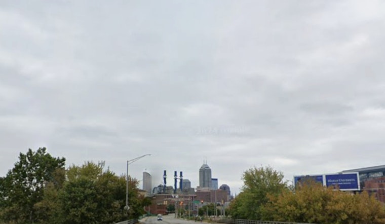
Indianapolis woke up on the cool and gray side Monday, with temperatures near 57°F at Indianapolis International and a light northerly breeze. Clouds should thin out as the day goes on, letting sunshine take over and pushing afternoon highs into the mid-70s, a sweet spot for parks, patios and last-minute errands.
Afternoon And Tonight: Monday, June 15, 2026
By mid-morning, skies are expected to turn mostly sunny, with a high near 74°F. Northwest winds stay on the gentle side, around 2 to 7 mph. Overnight, plan on mostly clear skies and a cool dip back down to about 57°F.
Midweek Storm Risk, Tuesday Through Thursday
Thunderstorms try to crash the party Tuesday afternoon, with scattered showers and storms most likely after 2 p.m. Forecasters put rain chances around 50%, and any storms could bring gusts up to roughly 22 mph. A stronger system moves in Wednesday into Wednesday night, with the potential for heavy rain, damaging gusts and localized flooding. That elevated risk is highlighted by the National Weather Service in Indianapolis.
Commute And Event Tips
For Tuesday afternoon and especially Wednesday night, it is worth having a backup plan. Be ready to shift outdoor activities inside if thunderstorms are in the forecast, and secure canopies or any lightweight gear that could blow over in gusty winds. Looking ahead, Juneteenth on Friday, June 19, 2026, currently trends drier with a high near 78°F, which could offer a more cooperative window for public events between rounds of storms.


