Knoxville woke up to thick clouds and sticky air on Monday, with temperatures hovering near 72°F and dewpoints close to 70°F. A Flood Watch is posted for June 8, 2026, as scattered showers and thunderstorms are expected from midday through the evening. The high should top out near 81°F, but the bigger concern is brief, pounding downpours that can quickly pool water on roads and turn the afternoon drive into a slog.
Afternoon Downpours And Flood Risk
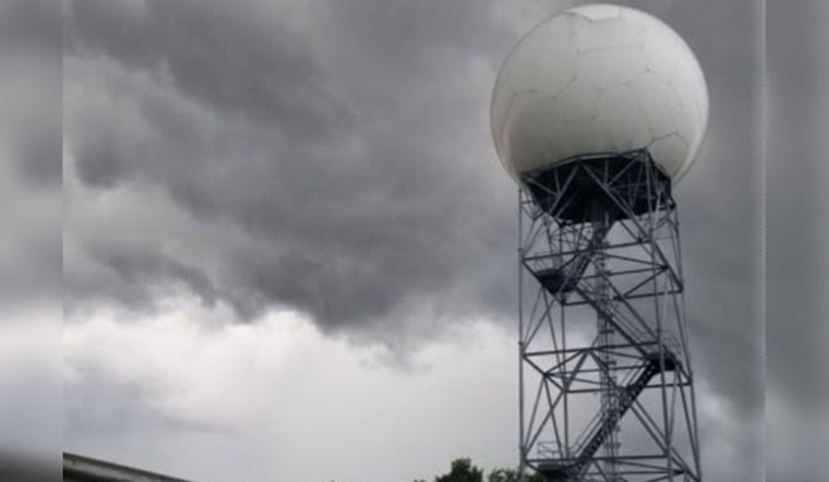
The National Weather Service in Morristown has issued a Flood Watch for much of East Tennessee, including Knox County, warning that "excessive runoff may result in flooding of rivers, creeks, streams, and other low-lying and flood-prone locations." Storms later today could dump rain at very heavy rates, locally 1 to 3 inches an hour, which raises the risk of flash flooding in spots that are already saturated. Keep an eye on updates from the National Weather Service Morristown for any new watches and warnings.
Timing And What To Expect
Showers and storms are most favored this afternoon, with the highest odds lining up between about 2 and 5 p.m. Monday, June 8, 2026. Many locations will likely see around a quarter to a half inch of new rain, but any neighborhood that sits under a training or stalled storm could pick up more. Winds should stay light at roughly 0 to 5 mph, yet visibility may drop quickly in heavy cells, and water ponding on lower stretches of roadway could slow the evening commute. For more detailed neighborhood timing, check the National Weather Service in Morristown.
Travel And Safety
Drivers are urged to steer clear of water-covered roads and never attempt to plow through standing water. Turn around, do not drown. If you live or work in a low-lying area, have a plan to head to higher ground in case a slow-moving storm parks over your block. Make sure your phone is charged, flashlights are handy, and an emergency kit is within reach, and follow instructions from local officials if warnings are issued.
Background And Next Steps
This steamy, storm-friendly setup comes on the heels of several rough weather days in late May. For a refresher on those recent rounds of heavy rain, see our coverage of midnight downpours. We will share updates if Flash Flood Warnings are posted or if conditions take a turn later today.


