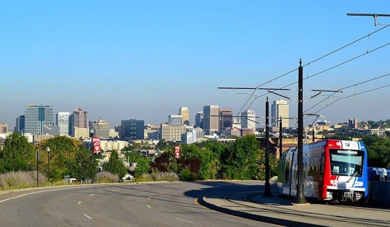
Salt Lake City woke up clear and comfortable around 68°F this morning, Thursday, June 25, but the cool start will not last long. Expect the valley to climb quickly to a high near 92°F, with some patchy wildfire smoke hanging around before noon and a shot at afternoon showers and thunderstorms. Most of the day should stay mostly sunny, yet late-day storms could bring brief heavy downpours or gusty outflow winds that cut visibility in a hurry. By Friday and Saturday, a much drier and windier airmass moves in, setting up a risky stretch for fast-moving fires in parts of Utah. Here is how the timing shakes out, what it means locally, and where to find indoor relief.
Afternoon Storms And Smoke
Patchy smoke will be most noticeable before midday across the valley. Later this afternoon into the evening, scattered showers and a few thunderstorms may bubble up. Rain chances stay on the modest side, around 20–30 percent, but any stronger storm cells can kick out sudden gusty outflow winds and brief heavy rain that knock down visibility and make driving tricky. Evening commuters should be ready to slow down, flip the headlights on, and be prepared for conditions to change rapidly along the route.
Where To Cool Off
Salt Lake County operates a network of designated “cool zones” and public cooling centers for anyone who needs air-conditioned space during hot stretches. The county’s heat page lays out locations, hours, and safety tips for especially vulnerable residents; libraries and community centers are among the most commonly used relief spots. Keep water handy, avoid strenuous activity during the hottest part of the day, and review the county’s current guidance and site list at Salt Lake County Emergency Management.
Friday And Saturday Fire Weather
A big shift arrives Friday, June 26, and continues into Saturday, June 27, 2026. Strong southwesterly winds, with gusts up to 40–50 mph, will combine with hot, very dry air to create widespread critical fire-weather conditions across much of Utah. Red Flag Warnings are in effect for portions of the state, and officials strongly discourage outdoor burning and fireworks, since even a small spark could spread quickly. With fast winds and single-digit humidities, relatively small fires can turn into rapidly growing incidents. For the latest warnings, detailed forecasts, and any changes to alerts, keep up with the National Weather Service.
Planning And Safety Tips
Skip outdoor burning and postpone nonessential outdoor work on Friday and Saturday if you can. Secure patio furniture, umbrellas, and any tents or temporary signs that might take flight in strong gusts. If you have respiratory issues, keep medications close and consider heading to a cooling center or another air-conditioned indoor space if smoke thickens near your neighborhood. Stay plugged in to local alerts, give yourself extra travel time in case of sudden weather or visibility changes, and check back with county updates and National Weather Service forecasts through the weekend.


.jpg)