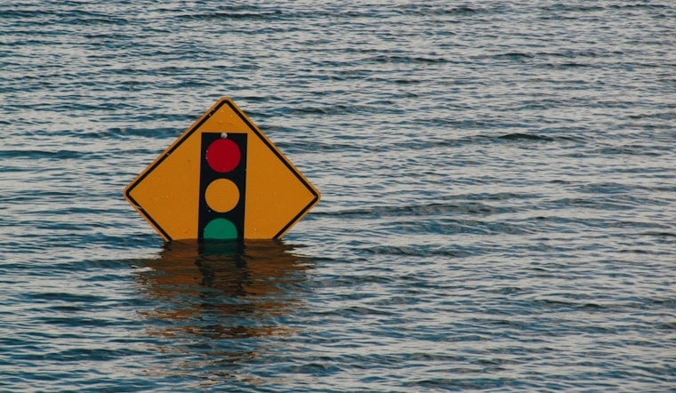
Slow-moving thunderstorms turned parts of South Florida into a late-night soak on Wednesday, with flash flood warnings and flood advisories popping up across Miami-Dade and Broward counties. Doppler radar locked onto intense, localized downpours that dropped multiple inches of rain in short bursts and ramped up the risk of fast-developing urban flooding. Officials urged drivers and residents in low-lying spots to take it slow and stay alert as the heaviest storms crawled over the metro area.
Storms delivered heavy downpours
Forecast models were not exactly singing in harmony, but some guidance pointed to isolated pockets picking up 3 to 5 inches of rain, with what forecasters called a "marginal," or level 1 out of 4, risk for flooding across Broward and Miami-Dade, according to CBS News Miami. The NEXT Weather Team highlighted the late afternoon into the evening as prime time for the strongest cells, stressing that slow-moving or nearly stationary storms would dramatically increase the flood threat. With models split on exactly where the bullseyes would set up, some neighborhoods only saw heavy showers while others were in line for rain totals high enough to trigger flash flooding.
Official warnings and localized impacts
The National Weather Service office in Miami issued Flash Flood Warnings for portions of Miami-Dade on Wednesday night, saying Doppler radar and automated rain gauges showed 3 to 4 inches had already fallen, with another 1 to 2 inches possible, per the National Weather Service. The warning singled out urban corridors and low-lying spots, including Hialeah and the Golden Glades area, as likely trouble zones for ponding and flooded roads. Meteorologists repeated a familiar safety mantra for South Florida drivers faced with waterlogged streets: "Turn around, don't drown."
Local forecasters urge caution on roads
Meteorologists at WPLG-Local 10 emphasized that the biggest concern was not just how hard it rained, but how long storms sat over the same area or repeatedly tracked across it, a pattern that can rapidly juice urban flooding potential, according to Local 10. That setup translated into a headache for the evening commute, with officials urging people to delay travel where possible or pick alternate routes around trouble spots with standing water. Emergency dispatchers also urged drivers to steer clear of deeper water while crews hustled to clear clogged drains and respond to flooding-related calls.
Why the downpours formed
Forecasters say a weak frontal boundary interacting with an active sea breeze and very moist tropical air created a recipe for "training" thunderstorms, meaning multiple storms followed the same path, each dropping its own round of heavy rain. A Weather Prediction Center and National Weather Service quantitative precipitation forecast discussion flagged elevated odds of 1 to 2 inch per hour rainfall rates, with localized bullseyes of 3 to 5 inches across the South Florida metro corridor. That kind of setup can easily overwhelm storm drains and canals, which helps explain why even relatively short-lived but intense storms so often lead to quick street flooding in the region.
What residents should do
Additional scattered storms are expected through the workweek, with the potential for more localized pockets of heavy rain, CBS News Miami and other local forecasts indicate. Residents are urged to check local alerts and National Weather Service updates for the latest advisories before heading out. And if you come across standing water on the road, do not drive through it; it is often deeper than it looks. Local agencies say they will continue monitoring conditions and will issue new warnings or advisories as the situation evolves.


