St. Louis rolled into Monday, June 15, 2026, under mostly cloudy skies and mid-50s temperatures, but the gray start is not sticking around for long. Sunshine is expected by mid-morning, setting up a pleasant afternoon with a high near 79°F and light northwest breezes. Tonight should stay mostly clear, with lows slipping back into the upper 50s.
Afternoon: Sunny and Comfortable
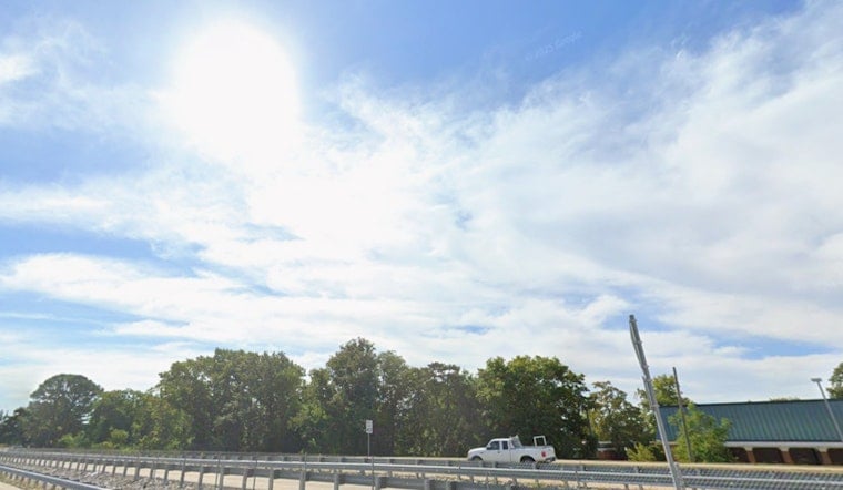
As the sun breaks through, the National Weather Service St. Louis is calling for a high near 79°F, with gentle northwest winds around 1 to 6 mph. Patchy river-valley fog along the Missouri River was possible early Monday, but it is expected to burn off by mid-morning. That clears the way for a comfortable day to knock out errands, hit the park or linger a bit longer over outdoor lunch.
Midweek: Strong Storms Possible
The calm will not last forever. A stalled front is set to lift back into the region on Tuesday, June 16, bringing a chance of showers and isolated storms during the day. The real trouble spot is Wednesday, June 17, when forecasters are eyeing a window in the afternoon and evening for more organized thunderstorms. Those storms could pack damaging winds, hail and heavy rain, with gusts pushing into the mid-30s mph. We broke down the setup in our June 14 look at the midweek storm slam.
Plan Ahead
Because timing and coverage are still a bit fuzzy, it is smart to have a backup plan for any outdoor events on Wednesday and to keep phones charged in case watches or warnings are issued. Heat could also start creeping back later in the week, and Wednesday may spike near 90°F in some spots. If that becomes an issue, the City of St. Louis maintains a list of public cooling centers; call 2-1-1 for openings or check the City of St. Louis list.


