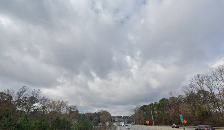
Atlanta woke up to a gray, sticky start, with clouds hanging low and temperatures near 73°F at Hartsfield‑Jackson and a soupy dew point around 70°F. A slight chance of early showers lingers this morning but is expected to taper off by midmorning. A Flash Flood Watch, however, is still posted for parts of central Georgia through late tonight, so the unsettled setup is not going anywhere fast. West winds around 10 mph will swing around to the northwest and may gust at times, with the stronger bursts expected overnight. Local officials are urging residents to take it slow in low‑lying neighborhoods and on ponded roadways when heavier cells roll through.
Afternoon Storm Risk
Storm trouble is most likely later in the day. The chance for showers and a few thunderstorms climbs this afternoon, with the highest odds roughly between 2 and 4 p.m., though coverage should stay scattered enough that many neighborhoods will stay dry. Forecasters are calling for highs near 86°F, with heat‑index values pushing into the low‑to‑mid 90s in the muggiest pockets and northwest gusts up to about 20 mph. Brief heavy downpours could drop around a tenth to a quarter of an inch of rain, with locally higher amounts possible, according to the National Weather Service.
Flood Watch And Travel
The Flash Flood Watch is all about the potential for training storms that repeatedly pass over the same spots, squeezing out efficient rainfall. Forecasters say some locations could tack on an extra 1 to 2 inches where storms stall, which would quickly lead to ponding on roadways and localized flooding in poor‑drainage areas. Drivers are advised to never plow through standing water and to build in extra travel time tonight. With gusty winds teaming up with saturated soils, small limbs could come down and cause isolated power outages, the National Weather Service adds.
Weekend Outlook
Looking ahead, the pattern offers a brief breather. Conditions should trend drier on Saturday with mostly sunny skies and another high near 86°F, a welcome reset before storm chances ramp back up. Shower and thunderstorm odds rise again Sunday into early next week. If your Juneteenth celebration is outdoors today, it is wise to keep a backup indoor plan in your pocket, or at least some quick cover nearby, and to monitor local alerts in case Flash Flood Warnings are issued. We will update readers if alerts expand or conditions take a turn through the evening.


