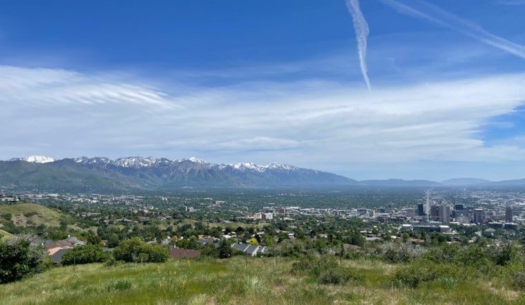
Downtown Salt Lake City woke up mostly clear and sitting around 64°F early Saturday, June 27, but the calm start is not sticking around. A strong cold front is barreling toward the valley and is expected to bump up the odds for showers and thunderstorms and kick up gusty, shifting winds later in the day. Brief heavy downpours and sudden bursts of wind could scramble outdoor plans from the afternoon into the evening.
Afternoon Storms And Gusty Winds
Showers and thunderstorms are most likely after midday, with a forecast high near 79°F and roughly a 50–60% chance of precipitation during the peak afternoon hours. The main concerns are short-lived heavy rain and localized gusts, and the on-again, off-again winds may make afternoon barbecues and park time a bit of a gamble. The National Weather Service reports that a strong cold front will sweep across northern and central Utah Saturday afternoon, with gusty southwest to northwest winds redeveloping across many valleys.
Fire Weather And State Emergency
Those gusty winds, paired with low humidity, have pushed Red Flag Warnings into effect across much of the state, sharply raising the odds that a single lightning strike or stray ember could trigger a fast-moving wildfire. In response, Gov. Spencer Cox has declared a state of emergency and temporarily expanded the state forester’s authority to restrict fireworks through the July 4 period, a move aimed squarely at cutting down on human-caused ignitions; details are laid out in the Utah Governor's Office release. For context on this week’s concerns about dry lightning and outflow winds, see the earlier dry lightning fire trap update from June 24, as per Hoodline.
What To Expect Tonight And Sunday
Saturday night trends cooler under mostly cloudy skies, with only a slight chance of lingering showers and lows dropping into the low-to-mid 50s across the valley. Behind the front, Sunday will feel like a different season, with highs only in the upper 60s and a continued chance of showers and isolated thunderstorms. The National Weather Service forecast discussion also flags the possibility of graupel over higher terrain and even a touch of overnight frost in the coldest valleys Sunday night.
Bottom line: bring a light jacket for evening plans, secure loose outdoor gear before the afternoon gusts kick up, and plan on a little extra travel time if you are out during the stormiest hours. Steer clear of any open burning or personal fireworks while Red Flag Warnings and the governor’s emergency restrictions are in effect, and keep an eye on updates from local emergency management and the National Weather Service.


