

























































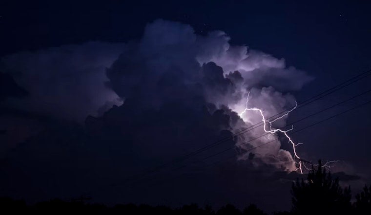
Franklin and Nash counties got a quick jolt Saturday evening when the National Weather Service issued a short-lived severe thunderstorm warning as a fast-moving storm raced east across the Piedmont. Forecasters warned of penny-sized hail and damaging wind gusts strong enough to bring down branches and peel at roofs and siding. Communities from Louisburg to Rocky Mount were put on alert, and travel along stretches of Interstate 95 took a hit into the early evening as conditions deteriorated.
Timing and where the storm was
According to the National Weather Service Raleigh, the warning went out at 5:33 p.m. and was set to expire around 6 p.m., with a storm cell located over Louisburg and charging east at about 50 mph. Coverage by the Charlotte Observer highlighted multiple communities in the warning area and passed along NWS preparedness tips for anyone in the storm’s path. The Observer noted that the update was generated by the paper's NC Weather Bot, drawing directly from official NWS products.
Storm details and hazards
Radar-indicated hazards from the storm included up to 0.75-inch (penny-size) hail and wind gusts near 60 mph, according to the National Weather Service Raleigh. The official warning stated, “Expect damage to roofs, siding, and trees,” and urged residents to “move to an interior room on the lowest floor of a building” until the storm passed. Meteorologists also flagged frequent lightning with these storms as an added risk for anyone caught outdoors or on the road.
Where to watch for impacts
The Charlotte Observer reported that Rocky Mount, Nashville, Louisburg, Dortches, Bunn, Red Oak, Sharpsburg, Spring Hope, Castalia and Battleboro were all within the warning area, along with portions of Interstate 95 between mile markers 145 and 132. Drivers along those stretches were advised to be ready for sudden heavy rain, hail and powerful gusts that can quickly slash visibility and make travel hazardous. Local emergency managers and DOT crews typically keep close tabs on NWS products and issue road advisories when conditions demand it.
How to stay safe
Lightning hits the United States about 25 million times a year and kills roughly 20 people annually, the National Weather Service notes, so the standard “move indoors” advice is more than just boilerplate. If you are outside when storms fire up, get inside a sturdy building and stay away from windows, plumbing and corded phones until the worst has passed. If you have to drive, slow down, use headlights and never drive through flooded roadways — “Turn Around, Don't Drown,” as the NWS likes to say — then report downed lines or major damage to local authorities once it is safe to do so.





