

























































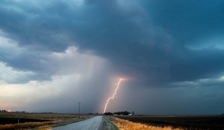
Knoxville is waking up to a warm, soupy start this morning, with mostly cloudy skies, temperatures hovering near 73°F, and humidity parked in the high 80s. Scattered showers and thunderstorms are expected on and off through the afternoon, with a high near 82°F and periods of heavy rain that could quickly flood streets and small creeks. A Flood Watch stays in effect into tonight as multiple rounds of rain move through the area.
Flood Watch Through Monday Morning
Forecasters with the National Weather Service office in Morristown say a Flood Watch is posted through 2:00 a.m. Monday, July 13, 2026, with repeated bouts of heavy rain capable of producing flash flooding, especially where the ground is already saturated, according to NWS Morristown. The forecast calls for showers and thunderstorms likely before 2 p.m., with additional storms redeveloping into the evening. Most spots are in line for about a quarter to a half inch of new rain, with locally higher totals possible under stronger downpours.
What To Expect Sunday And Monday
The heaviest rain today, Sunday, July 12, 2026, is expected in the afternoon and early evening, when storms could repeatedly track over the same neighborhoods. Another round of stronger storms is possible Monday, July 13, 2026. Highs should hold near 82°F both days, with Monday looking like the better bet for half to three-quarters of an inch of rain in some locations, enough to trigger flash flooding where the ground cannot soak up any more water. Winds will stay light at around 0–5 mph, but with soggy soil, even a gusty thunderstorm could knock down a few branches in low-lying areas.
Plan Ahead And Stay Safe
Give yourself extra time to get around and steer clear of standing water on the roads. If you encounter a flooded roadway, turn around, don’t drown. For details on what to do before and during flooding, check the National Weather Service flood safety guidance. If you rely on transit or major highways, keep an eye on local updates; Knoxville Area Transit and TDOT may post service alerts or closure notices if conditions take a turn for the worse.



