

























































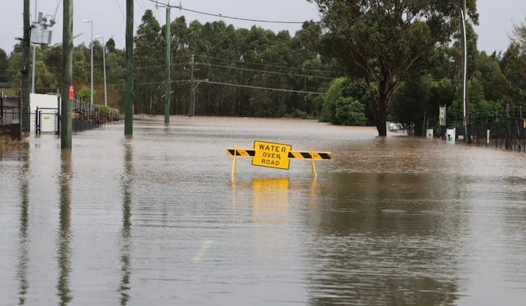
Saturday afternoon turned into a soggy grind across New Orleans as the National Weather Service issued a flash flood warning for the metro area and slow-moving thunderstorms unloaded torrential rain. Low-lying streets and several underpasses quickly went under, with radar and storm reports flagging pockets of intense downpours. Forecasters said some neighborhoods had already picked up as much as 3 inches of rain by early afternoon, with more on the way. City crews and emergency responders worked to clear flooded routes while officials urged drivers to steer clear of standing water.
NWS warning and what forecasters said
According to NOLA.com and advisories from the National Weather Service, the flash flood warning covered the New Orleans metro area and was in effect until 4:15 p.m. Forecasters pointed to radar-estimated rainfall rates strong enough to trigger rapid urban flooding and warned that the more intense storm cells could bring gusty winds up to 40 mph along with pea-size hail. The National Weather Service also cautioned that another inch or two of localized rainfall was possible, raising the odds that underpasses and poor-drainage blocks would fill quickly.
Closures and neighborhood impacts
City flood-monitoring tools flagged closures at the Canal, Carrollton and Broad underpasses and pushed out live street updates on the city's Streetwise map. Crews reported flooding in Mid-City and uptown intersections, including Prytania at Delachaise and Toledano at Carondelet. The New Orleans Office of Homeland Security and local traffic feeds described stalled vehicles and detours across the metro area while pumps worked to pull down the water. Local broadcast trackers also highlighted the 4600 block of N. Claiborne Avenue and several nearby blocks among the hardest hit, as crews and residents shared photos of submerged vehicles.
Safety message from officials
Officials repeated the familiar National Weather Service safety line, "Turn around, don't drown," for anyone tempted to drive into a flooded roadway. The National Weather Service and city emergency managers urged residents to move vehicles to higher ground, stay out of barricaded underpasses and sign up for city alerts so crews can fine-tune pump operations and place barricades where they are most needed. Those precautions, emergency officials said, help cut down on water rescues and keep first responders available for truly life-threatening calls.
Why this keeps happening
Summer thunderstorm patterns often set up training bands that stall over certain neighborhoods, and New Orleans' low elevation and pump-dependent drainage mean fast, localized flash flooding is a recurring hazard during heavy July rainstorms. Local coverage and recent alerts have tracked a string of flash flood warnings and repeated underpass closures in recent weeks as crews juggle intense rain rates and routine pump maintenance. For status updates or to report street flooding, residents are urged to use the city's Streetwise map and follow local broadcasters until the storm system finally moves out.





