

























































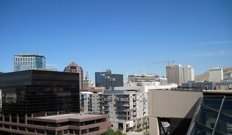
Salt Lake City woke up to clear skies and already warm air Thursday morning, with temperatures in the upper 70s at Salt Lake City International Airport. By Thursday, July 16, the city is in for a hot afternoon, with valley highs climbing into the upper 90s and a chance for showers or thunderstorms after midday. Any storms that do form will be slow-moving and capable of brief heavy downpours that could quickly flood low spots and put a dent in the evening commute.
Afternoon Storms And Timing
Thunderstorm chances build through the afternoon, with the highest odds after about 3 p.m. The valley forecast calls for roughly a 25–30% chance of storms, with higher chances over the nearby mountains. Temperatures are expected to top out near 98°F, then drop a degree or two if storms roll through. Outflow gusts from any storms can briefly kick up the breeze. For hourly timing and the latest watches, check the National Weather Service.
Heat Safety And Cooling Centers
With highs near 98°F, heat stress is a real concern for outdoor workers, young children, and pets, so drink plenty of water, take breaks, and try to avoid strenuous activity during the hottest part of the day. Salt Lake County runs a network of public Cool Zones where people can get relief, and a downtown option includes the Weigand Center at 437 W 200 S. For locations and hours, see the county list at Salt Lake County Cool Zones.
Flood Watch South Of The Valley
Monsoonal moisture moving north will keep the flash flood threat alive across parts of southern and east-central Utah through this evening. A Flood Watch is in effect for portions of southern Utah, where heavy, training storms could produce rapid runoff in narrow washes and in burn-scarred terrain. Avoid slot canyons and normally dry washes if thunderstorms are in the area, and allow extra time for travel during the evening commute. The National Weather Service has the latest watch information and forecast discussion.





.jpg)