

























































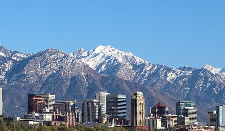
By Wednesday morning, July 15, Salt Lake City International Airport was already reporting clear skies and a toasty 79°F, a preview of a hot day ahead. Temperatures are expected to top out near 93°F this afternoon, with a slight chance of showers and thunderstorms between noon and 3 p.m.
Monsoonal moisture is sliding back into Utah this week, bumping up the odds for scattered afternoon storms that could deliver brief heavy downpours and localized flash flooding across the central and southern parts of the state. Storms are forecast to fire up mainly over higher terrain, then drift into nearby valleys with erratic, gusty outflow winds possible, according to the latest from the NWS Salt Lake City.
Afternoon Storms And Local Flood Risk
These storms are expected to be slow movers, which means training cells could dump heavy rain over the same neighborhood in a short window of time. Narrow slot canyons and low-lying drainage areas are especially risky, since flash flooding can develop quickly with little warning. Travelers in the canyons should be ready for brief delays and sudden wind gusts that can push debris onto roadways.
Heat Through The Rest Of The Week
The heat turns up after Wednesday. Highs are forecast to reach near 97°F on Thursday, July 16, then around 98°F on Friday, July 17, with nights staying on the warm side. The combo of daytime heat and afternoon storms will make it feel sticky and uncomfortable, while also cutting into the usual overnight cool-down.
Salt Lake County has expanded its network of public "cool zones" and extended hours to help residents ride out the heat. Site locations and hours are listed by Salt Lake County.
For now, the smart move is to schedule outdoor plans for early morning or evening, stay hydrated, and be ready for quick downpours that can slow the commute. Keep an eye on local radar and updates from the National Weather Service through the week for any flash flood or wind advisories.





