

























































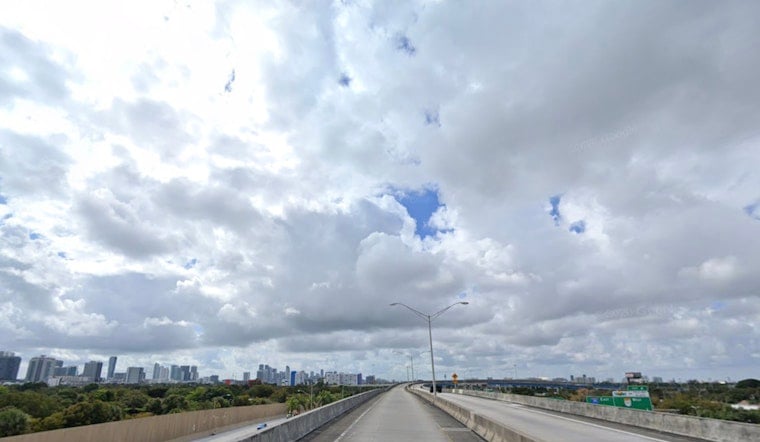
Miami woke up to a wall of humidity Monday morning, July 27, with temperatures near 79°F at Miami International Airport and humidity already climbing into the mid 80s. The steamy start is expected to build into scattered to numerous showers and thunderstorms by late morning and into the afternoon, with the east coast metro area most in the crosshairs. Slow moving storms could bring heavy downpours and brief street flooding, so anyone banking on outdoor plans today may want a backup option.
Afternoon Storms, Local Flooding Possible
Forecasters expect showers and thunderstorms to be most active between about 8 a.m. and 3 p.m. Monday, with the highest coverage along coastal and metro neighborhoods. Heavier cells could drop around a half inch to three quarters of an inch of rain. The National Weather Service is also calling for heat index values near 104°F today and up to about 108°F on Tuesday. Some of the storms could pack strong wind gusts, frequent lightning and even large hail, according to NWS Miami. If you hit a pocket of sudden heavy rain, pull over safely and skip the temptation to drive through standing water.
Heat And Safety
Even with the storm threat, actual air temperatures are expected to climb into the upper 80s to low 90s, and heat index values will top 100°F, which keeps heat stress in play for outdoor workers and vulnerable residents. The City of Miami maintains a list of cooling centers and community hubs during heat season, and residents can confirm nearby locations and hours at the City of Miami cooling centers page. Hydrate often, go easier on strenuous activity during peak heat, and check in on neighbors or relatives who might need help staying cool.
What This Means For Your Commute
Southwest winds around 6 to 10 mph are expected through the day, with gusts likely to ramp up later this week. Any brief heavy downpours can quickly slick up the roads and knock down visibility, so build in extra travel time and ease off the gas in wet lanes. Boaters should keep an eye on the sky, as scattered thunderstorms can kick up gusty, choppy conditions for small craft, and heading to shelter is the smart move if lightning starts to close in. For outdoor plans, the morning offers the better window, as long as you have a fast route indoors once storms start to fire.





