

























































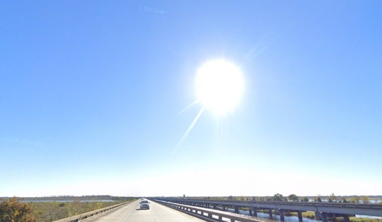
New Orleans gets a classic summer combo on Wednesday, July 8, 2026: a sunny start, then a hot, sticky smack in the face by afternoon. Highs will climb near 93°F, with heat index values pushing up toward 106°F. After 1 p.m., a chance of showers and thunderstorms moves in, and any storm that pops could dump brief heavy downpours and kick up gusty winds. With light west winds around 5 mph, storms will be scattered, so one block could stay bone dry while the next gets a quick, soaking burst.
Afternoon Storms
Scattered storms are most likely to bubble up along sea-breeze boundaries during the hottest part of the day, with an overall 30% chance of precipitation and new rainfall generally staying under a tenth of an inch, according to the National Weather Service. If a stronger cell develops it could unleash heavier rain and produce gusty, erratic winds, so leave extra cushion for those late-afternoon commutes and keep an eye out for brief street flooding in the usual trouble spots.
Heat Relief Options
With heat index readings near 106°F, anyone without reliable air conditioning is urged to make use of city cooling sites and hydration stations. The City of New Orleans maintains a NOLA Ready Heat Relief Map that highlights libraries, recreation centers and staffed cooling sites; check NOLA Ready for specific locations such as the Sanchez & Copelin-Byrd Multi-Service Center and the Main Library.
Marine Outlook And Week Ahead
Out on the water, coastal areas remain vulnerable to brief but punchy storms and even waterspouts, so boaters should keep a close watch on the sky and head for shelter if thunderstorm activity starts to move in. Forecasters also point out that higher moisture values through the weekend into early next week will increase the odds of heavier, slow-moving storms and localized flash flooding as a slow-moving frontal boundary settles into the region, per the National Weather Service.
Practical Tips
Hydrate frequently, avoid prolonged outdoor exertion during the peak afternoon heat, and never leave children or pets in parked cars, even for a short time. Keep your phone charged with a radar app ready for those sudden pop-up storms, and have an indoor backup plan in place for any outdoor events scheduled for this afternoon and through the weekend.





