

























































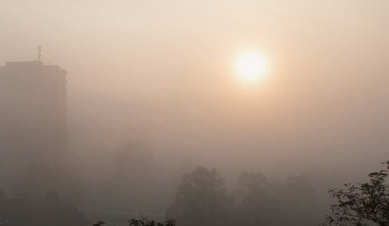
Indianapolis is starting Sunday, July 26, 2026, in a gray, soupy haze, with fog and mist hanging over the city and temperatures near 69°F. Visibility is reduced in spots, and forecasters say patchy to locally dense fog is likely between 7 a.m. and 9 a.m., which could slow the morning drive on the main commuter routes. By afternoon, clouds should thin out, skies turn partly sunny, and the high will climb to around 89°F.
Heat And Storm Threat
The real weather punch arrives as humidity builds through the rest of the weekend into Monday, July 27, 2026. Highs near 93°F combined with rising moisture could push heat index values up to about 106°F, raising the risk of heat-related illness for anyone working or exercising outside for long stretches. Forecasts also call for the chance of one or more thunderstorm complexes from Sunday night into Monday night, with damaging wind gusts and heavy rainfall the main concerns, according to the National Weather Service.
Foggy Commute And Cooling Options
Drivers should be ready to tap the brakes during the 7 to 9 a.m. rush on Sunday, July 26, 2026, as patchy to dense fog cuts visibility, especially near rivers and in low-lying areas. Once the fog clears and the heat settles in later in the weekend, residents looking for air conditioning can head to city-run cooling centers. Indy Parks lists several family centers across the city that are open as places to cool down. The full list is posted by Indy Parks & Recreation.
Midweek Relief
Relief should arrive with a cold front late Monday, July 27, into early Tuesday, July 28, 2026, which is expected to knock down humidity and return temperatures to something closer to seasonal normals by midweek. Highs should land in the mid 80s with a more noticeable northwest breeze. Tuesday could feel a bit gusty at times, particularly away from more sheltered urban spots, but conditions overall are expected to be drier. For the latest timing and any updates to watches or warnings, keep an eye on the National Weather Service.





