

























































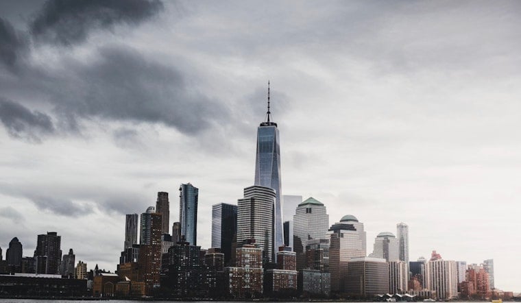
New York City woke up in a sweat this Thursday, with muggy air and mostly clear skies hanging over the boroughs. Temperatures are already near 72°F at Central Park, and high dew points are making it feel sticky before the day even gets going. Expect partly sunny skies and a growing chance of showers and thunderstorms after about 2 p.m. on Thursday, July 9, 2026, with a daytime high around 82°F. Brief downpours and gusty winds could cut into outdoor plans this afternoon and evening, so anyone with afternoon events or a borough-to-borough commute will want to keep an eye on the sky.
Afternoon Storms And Local Flooding Risk
The main show arrives Thursday afternoon into the evening, when showers and scattered thunderstorms become most likely. There is around a 50% chance of precipitation, with typical rainfall totals of about a quarter to a half inch. A few storms could hit much harder. Some high-resolution guidance suggests isolated neighborhoods might see 2 to 3 inches of rain in a short burst, creating pockets of flash flooding and flooded streets, according to the National Weather Service.
Stronger storms could pack brief but gusty winds capable of bringing down small branches and causing localized power outages. If heavy rain develops where you are, avoid driving through standing water, give yourself extra travel time, and move vehicles off low-lying streets if you can.
Heat And Humidity Hold On
Today is technically a bit cooler than the recent heat surge, but the humidity is not letting go. On Friday, temperatures are expected to climb back into the upper 80s, with heat indices reaching the low-to-mid 90s. That mix of heat and the risk of afternoon storms will make it feel oppressive at times. Anyone sensitive to heat should plan on regular cool-down breaks, light activity during the hottest part of the day, and steady hydration.
Commute And Events
Travel could get messy in spots during the afternoon commute. Brief, intense downpours and localized flooding can slow traffic, trigger delays on surface routes, and cause temporary subway slowdowns where water pools on streets or near station entrances. Outdoor events, street fairs, and practices should have a quick move-indoors plan ready, since pockets of heavy rain could abruptly disrupt activities. Flyers should also build in a little wiggle room, as airport travelers may see short, weather-related delays this afternoon and evening.
Where To Cool Off
The city continues to run cooling options and open cooling centers during heat events. You can look up locations and walk-up cool spaces on the NYC311 Cooling Centers page. LinkNYC kiosks will also display directions to nearby cool spots during extreme heat, and many libraries and museums offer a free burst of air conditioning for those who need a break. If you or someone you know is vulnerable to heat, consider heading to a cooling center when temperatures spike again on Friday.
Marine And Beach Notes
Out on the water, conditions stay manageable but not entirely carefree. A moderate rip-current risk continues through Friday, with seas around 3 to 4 feet and south to southwest winds that can turn gusty at times. Beachgoers should read and respect posted warnings, stick to lifeguarded areas, and avoid going into the surf when strong rip-current advisories are in effect. Small-craft operators should secure loose gear and keep tabs on the latest marine updates before leaving the dock.
Short-Term Outlook
Friday brings another round of afternoon and evening storms, with a somewhat higher wind threat as temperatures push back into the upper 80s. After that, the payoff arrives in the form of a drier, more seasonable weekend, with highs in the low-to-mid 80s and fewer storm interruptions. Keep checking updated forecasts through Friday afternoon and have a quick plan for moving people and equipment indoors during any brief but heavy downpours. For the latest updates and any last-minute changes, follow the National Weather Service.





