

























































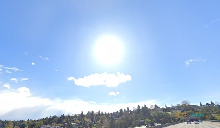
Seattle started Monday, July 13, 2026, on a classic summer note, with clear skies, crisp air, and temperatures sitting near 55°F at daybreak. That cool start will not last long. Forecasters expect a steady warm-up through midweek, with highs close to 76°F on Monday, near 80°F on Tuesday, and peaking around 82°F on Wednesday. Nights will be more comfortable, with lows holding in the mid 50s. Light north winds should keep parts of Puget Sound feeling breezy at times, and most spots stay dry until a pattern change late in the week.
Where It Will Be Warmest
Interior neighborhoods and communities along the Seattle–Tacoma corridor are in line for the warmest readings, while waterfront areas hang a few degrees cooler thanks to the water. The hottest part of the day will generally land between 2 and 6 p.m. If you are sensitive to heat, that is the window to avoid for big outdoor projects or workouts. Mornings and evenings will be your best bet, helped along by those mid 50s overnight lows that should let homes cool down a bit.
Small Craft Advisory Tonight
Out on the water, things get a little more serious. A Small Craft Advisory is posted for portions of the Strait of Juan de Fuca from 5 p.m. Monday, July 13, 2026, through 1 a.m. Tuesday, July 14, 2026. Mariners can expect gusty winds and choppier seas through the night, with winds around 15 to 25 knots and seas of roughly 4 to 6 feet. Conditions are likely to build later in the week. According to the National Weather Service Seattle/Tacoma, seas could climb toward 7 to 8 feet on Thursday and Friday as the next system approaches.
Midweek Uncertainty
Forecast models are wrestling with a cut off low that looks to linger offshore around midweek. That system could nudge in some showers or even isolated thunderstorms on Thursday, July 16, 2026, along with a brief cooldown from the earlier heat. The same setup raises an eyebrow for potential dry fuel lightning and localized fire weather concerns in some areas, so event planners and outdoor organizers will want to keep a close eye on updates. For more on the recent pattern and how it has already been playing out locally, see how the sun turns up the heat.
Plan Ahead
For now, plan on sunny afternoons and cool, comfortable mornings through midweek. If you will be active outside, bring water and try to stack the heaviest work in the earlier or later hours of the day. Boaters and shoreline visitors should check the latest marine forecasts before heading out, especially as winds and seas build. Anyone who is more vulnerable to heat should think through cooling options in advance of the warmest days. Updates will follow if advisories are adjusted or if the midweek system looks stronger than currently expected.





