

























































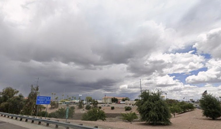
Phoenix is already baking this morning, with temperatures around 91°F and partly cloudy skies at Sky Harbor, and the heat will only crank up through Sunday, July 12, with a high near 108°F. Added humidity will push apparent temperatures into the 110–115°F range across much of the lower desert, turning the afternoon into a wall of heat. Monsoon moisture is also in play, bringing a solid chance of afternoon and evening storms, especially over the foothills and to the east and southeast of the valley.
Afternoon Storms And Gusty Outflows
According to NWS Phoenix, scattered storms are expected to bubble up over the higher terrain this afternoon, and a few could drift into the lower deserts late in the day. Any storm that survives the trip down can kick out strong outflow winds, with gusts possibly reaching 50–60 mph, and forecasters have outlined a slight risk for severe thunderstorms across Maricopa and Pinal counties. Brief heavy downpours, sudden gusty winds, and short-lived episodes of blowing dust are all on the table where those outflows collide.
Heat And Safety
Temperatures will stay dangerously hot through the week, with midday highs hovering near 108°F and nighttime lows stuck in the upper 80s, which means very little overnight relief. For anyone without reliable air conditioning, the City runs a Heat Relief Network of cooling centers and hydration stations, and you can call 2-1-1 for help finding a nearby site or transportation, according to City of Phoenix. This is the time for basic desert survival tactics: skip strenuous outdoor activity during peak heat, sip water regularly instead of waiting until you are thirsty, and check in on neighbors, children, and pets.
Looking Ahead
Through midweek, daily thunderstorm chances will stick around as easterly flow taps into deeper monsoon moisture, according to NWS Phoenix, and an approaching inverted trough by Thursday–Friday could boost storm coverage and bring pockets of heavier rain. Highs are expected to hold between about 102–109°F each afternoon, with a possible cooldown later in the week if clouds and rainfall become more widespread. Keep an eye on radar during the evening commute, and give extra space to other drivers and pedestrians when storms or gusty outflows start kicking up.





