

























































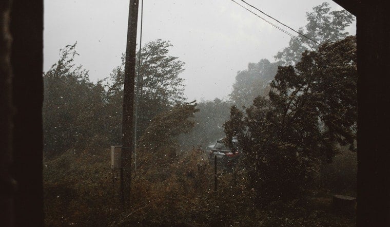
Winds gusting up to 58 mph tore through central Indiana Tuesday afternoon, forcing officials at the Indiana State Fair to shut its gates for just over an hour and knocking out power to more than 27,000 customers statewide. The severe thunderstorm struck Indianapolis at around 2:30 p.m., dropping quarter-inch and half-inch hail across Marion County before organizers declared the hazard had passed and reopened the fairgrounds shortly after 3 p.m.
The storm arrived as the 169th Indiana State Fair enters the middle stretch of its 15-day run, which organizers expect to draw more than 850,000 visitors through August 23, according to InkFreeNews. Under the fair's emergency guidelines, when severe weather threatens the grounds, staff and public address announcements direct visitors to shelter inside larger permanent buildings designated as safe havens, per the Indiana State Fair Commission. The National Weather Service recorded the 58 mph wind speeds near Indianapolis International Airport, according to IndyStar.
The National Weather Service defines a severe thunderstorm as one producing wind gusts of at least 58 mph or hail at least 1 inch in diameter, meaning Tuesday's storm hit that threshold almost exactly. The agency issued a severe thunderstorm warning for Indianapolis that expired at 2:45 p.m., IndyStar reported, and placed the city under a severe thunderstorm watch until at least 5 p.m. Meteorologist Brad Herold said the winds were the primary concern with this storm, telling the outlet, “the winds are really more significant.”
Fairgrounds Safety Measures Echo Lessons From 2011
Any weather-related closure at the Indiana State Fair carries added weight given the grounds' history. On August 13, 2011, a severe thunderstorm wind gust reaching 59 mph collapsed a temporary outdoor concert stage roof before a scheduled performance, killing seven people and injuring 58, according to a historical review from ForensisGroup. That tragedy led to sweeping changes in live event structural safety standards nationwide and, according to the same review, resulted in $50 million in total legal settlements, including $11 million from the State of Indiana and $39 million from private defendants.
Tuesday's response looked markedly different. Fair officials shut the gates for just over an hour rather than allowing crowds to remain exposed, and declared the hazard passed before reopening. The fair also enforces an evening Minor Policy requiring fairgoers under 18 to be accompanied by an adult after 6 p.m. Tuesday through Thursday and after 4 p.m. Friday through Sunday, with all visitors subject to metal detector screening upon entry, per the fair's own safety information.
Tens of Thousands Lose Power Across Central Indiana
The storm's punch was felt well beyond the fairgrounds. AES reported more than 27,000 customers without power across Indiana, while Duke Energy reported over 9,000 customers without power in its own territory, IndyStar reported. AES Indiana normally supplies retail electric service to more than 500,000 residential, commercial, and industrial customers across a 528-square-mile territory covering all of Marion County and parts of surrounding counties, according to Mirror Indy, giving a sense of scale for Tuesday's outages. Customers can check and report AES outages using the company's live map, while Duke Energy maintains its own live outage map.
Herold warned that a second round of storms was forming northwest near the Illinois state border and could strike Indianapolis at about 5 or 6 p.m., though he cautioned the system may also dissipate before reaching the city. He said strong gusts would continue to present a hazard if that second storm arrived, and advised attention to low-lying areas and rivers given ongoing flooding concerns.
Flood Watch and Storm Risk Extend Into Wednesday
The National Weather Service predicts multiple rounds of thunderstorms throughout Tuesday, and severe thunderstorms remain a risk through Wednesday, according to IndyStar. A flood watch is in effect until midnight Thursday. NOAA's Storm Prediction Center had placed central Indiana under an Enhanced Risk — level 3 of 5 — for severe weather Tuesday, warning that storm complexes were capable of producing damaging straight-line winds, according to Men's Journal.
The outbreak followed consecutive days of intense heat and humidity across central Indiana, with heat index values climbing near 100 degrees, conditions Hoodline previously tracked as storms loomed. That kind of heat and moisture typically precedes the strong convective fronts that produce sudden summer thunderstorm complexes in the region. Drivers navigating the aftermath can check road conditions, closures, and weight restrictions through INDOT's CARS program, while the Indiana TrafficWise map offers road closures, crashes and live webcams.
Separately, Title 290 of the Indiana Administrative Code requires severe weather warning sirens to be tested regularly on Fridays at 11 a.m., but that testing must be suspended if actual thunderstorms are in the area to avoid confusing the public, according to the Indiana Administrative Code. Emergency sirens across the state are operated by municipal and county agencies rather than a single statewide authority.





