

























































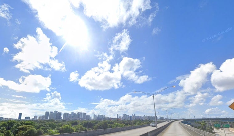
Miami started Tuesday with clear skies and temperatures near 79 degrees, but the calm morning is expected to give way to steamy, stormy conditions. Showers and thunderstorms become likely after 11 a.m., with a high near 88 and heat index values reaching about 104. The rain chance rises to 60% as the afternoon wears on.
Rain Arrives By The Afternoon
The National Weather Service expects scattered to numerous showers and storms across South Florida, with the heaviest coverage shifting toward inland areas. For Miami, hourly chances climb from the late morning into the afternoon, reaching roughly 55% to 60% between 2 p.m. and 6 p.m. Stronger cells could bring brief heavy downpours, with new rainfall amounts generally between a tenth and a quarter of an inch.
Heat Stays High Even When Storms Roll In
South winds will remain light at 3 to 8 mph, doing little to make the humidity feel less oppressive. The broader South Florida region could see peak heat index values between 105 and 110, prompting moderate heat concerns and a low-end chance of more serious heat impacts in some areas. Drink water, take breaks in air conditioning or shade, and keep children and pets out of parked cars.
Storm Chances Rise Later This Week
Wednesday brings another chance of showers and thunderstorms, with a high near 87 and heat index values as high as 103. Conditions turn wetter Thursday and Friday, when storm chances reach 60% to 70% and easterly winds increase to around 14 to 15 mph, with gusts near 20 mph. By Saturday and Sunday, rain chances ease to about 40% and 30%, but temperatures climb toward 89 and 90 degrees.
Atlantic Beaches Face Higher Rip Current Risk
Easterly winds are expected to strengthen during the second half of the week, raising the rip current risk along Atlantic Coast beaches. Beachgoers should check conditions before entering the water and follow posted warnings, especially as winds and seas build. No watches, warnings or advisories were in effect for Miami-Dade or nearby waters Tuesday morning.



