

























































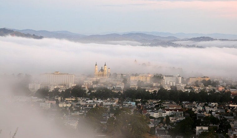
San Francisco is waking up to a chilly, gray today with temperatures around 59 degrees and a small chance of drizzle before late morning. The city should top out near 66 degrees, but a deep marine layer and west-southwest breeze will keep the waterfront feeling more like a jacket day than a classic August outing.
Drizzle Gives Way To A Brighter Afternoon
The National Weather Service gives drizzle a 20% chance before 11 a.m. today. Clouds should gradually break into partly sunny skies, while west-southwest winds reach 7 to 14 mph with gusts up to 21 mph; temperatures may ease from the mid-60s later in the afternoon.
Weekend Stays Cool Before A Small Warm-Up
Tonight will be mostly cloudy with a low near 58 degrees and another slight chance of drizzle after 11 p.m. Tomorrow brings a similar setup, with a chance of morning drizzle, a high near 66, and gusty afternoon winds, followed by mostly cloudy skies overnight.
Sunday and Monday remain partly sunny with highs near 66, while Tuesday cools slightly to 64 before temperatures return to the mid-60s Wednesday and Thursday. Hoodline previously tracked a similar fog-and-chill pattern in July, but today's deeper marine layer and a chance of drizzle make for another especially layered Bay Area weekend.
Layers Are The Move
Plan on a jacket for early errands, waterfront walks, and evening plans, with breezier conditions developing through this afternoon. No watches or warnings are in effect, but visibility may be reduced in coastal neighborhoods and higher terrain while the marine layer hangs around.





