

























































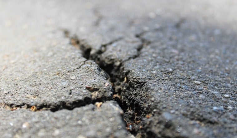
A magnitude 3.9 earthquake struck the East Bay at 8:30 AM today, shaking homes and offices from San Leandro to San Francisco and briefly halting BART trains as crews checked the tracks. No immediate damage reports emerged in the quake's early aftermath.
The United States Geological Survey initially measured the quake as a 4.1 before revising it down to 3.9, describing its location as north of San Leandro, according to The San Francisco Standard. More precise USGS data cited by SFGATE pinpointed the rupture at a depth of 3.2 miles below Calandria Avenue near Interstate 580 in San Leandro, roughly 2.4 miles north of the city's center and about five miles from Oakland and Alameda. The Standard's report, credited to senior news reporter George Kelly and deputy news editor Michael McLaughlin, also noted the quake was felt as far as San Francisco and around the wider Bay Area, and was centered near the Oakland Zoo in Oakland's Oak Knoll neighborhood.
BART Trains Paused, Then Cleared
BART paused its trains briefly after the shaking hit, following the same automated protocols that have become familiar to East Bay commuters during seismic events. The transit agency later reported that safety inspections were complete, the Standard's developing-story coverage noted. Those checks are built into BART's Earthquake Emergency Response Plan, which triggers whenever ground shaking exceeds Modified Mercalli Intensity IV or an automated early-warning signal arrives — automatically slowing trains from up to 70 mph down to 27 mph within 20 seconds and holding them for at least five minutes while operators visually inspect the track, according to BART.
BART became the first transit agency in the country to integrate the USGS ShakeAlert system back in 2012, relying on dual redundant servers that process seismic sensor data once every second to trigger automatic braking before shaking waves even reach the tracks, per the same BART safety materials. A similar East Bay quake on February 2, as Hoodline previously reported, triggered the same automated slowdown protocols and led to systemwide commuter delays of up to 20 minutes while safety teams completed their inspections.
A Fault Line With A History
The Hayward Fault runs directly through the earthquake area, stretching from San Pablo Bay down to Fremont and passing beneath some of the East Bay's densest neighborhoods. It's a fault seismologists watch closely: the USGS's earthquake probability forecasts put the odds of the Hayward Fault producing a magnitude 6.7 or greater earthquake before 2043 at 33%, making it the single fault most likely to trigger a major Bay Area earthquake, while the broader region faces a 72% probability of a quake that size or larger over the same period.
The fault's last major rupture came on October 21, 1868, an estimated magnitude 6.8 to 7.0 event that killed 30 people and damaged buildings from San Leandro to San Francisco, according to the California Department of Conservation. Geological studies of prehistoric earthquake deposits show that major damaging quakes on the Hayward Fault occur roughly every 140 to 150 years on average, meaning the fault has now surpassed its historical recurrence interval since the 1868 event. Fault creep along the Hayward releases only a fraction of the stored tectonic strain, which is why routine tremors like Thursday's don't necessarily relieve the pressure building toward a larger future rupture.
A Pattern Of Small Shakes
Thursday's quake wasn't an isolated blip. Just three weeks earlier, on July 23, the USGS recorded a magnitude 2.6 earthquake centered two kilometers north-northeast of San Leandro at a depth of 2.7 miles, along the same section of the fault — a pattern consistent with the kind of micro-earthquakes common along creeping fault lines in the East Bay.
Because the quake registered below magnitude 4.5, it did not trigger MyShake app notifications, and because it fell short of magnitude 5.0, it also did not prompt government Wireless Emergency Alerts to cell phones, under thresholds set by Earthquake Warning California. Those alerting thresholds are calibrated specifically to avoid alert fatigue from smaller, non-damaging quakes.
San Leandro Reviewing Fault Hazard Maps
The timing lands in the middle of an active local review: the California Geological Survey and the City of San Leandro are conducting a 90-day public comment period, open through August 19, on proposed revisions to official state Earthquake Fault Zone maps covering parts of the city, according to the City of San Leandro. Those zone designations require special geological evaluations before new construction can proceed near active fault traces, adding a regulatory dimension to a quake that struck almost directly beneath the area under review.





