

























































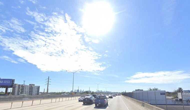
Miami is waking up mostly clear and already warm, with temperatures around 82°F at Miami International Airport early Tuesday. The bigger story arrives by midday, when a Heat Advisory takes effect across South Florida and the heat index could reach 105°F to 110°F. Sunshine and humidity will make outdoor plans feel considerably tougher than the thermometer suggests.
Heat Advisory Covers Tuesday Afternoon
Tuesday's high is expected to reach near 90°F, with southeast winds at 7 to 10 mph and only a 5% chance of rain. The National Weather Service advisory runs from noon to 7 p.m., when heat-index values of 105°F to 110°F are expected.
Residents should limit strenuous outdoor activity during the afternoon, drink plenty of fluids and choose lightweight, loose-fitting clothing. Anyone working or exercising outside should take frequent breaks in shade or air conditioning and watch for symptoms of heat exhaustion or heat stroke.
Another Muggy Night Offers Little Relief
Tuesday night will stay mostly clear, but the low will only fall to around 82°F. Humidity could keep the overnight heat index as high as 103°F, making bedrooms without reliable cooling especially uncomfortable.
Storm Chances Increase Later This Week
Wednesday will remain sunny and hot, with a high near 90°F and a slight chance of showers and thunderstorms after 4 p.m. Rain chances rise Wednesday night, when a few storms could linger before 8 p.m., with a 30% chance of precipitation.
Thursday is expected to be the wettest day of the stretch, though it will still be hot with a high near 91°F and a chance of afternoon showers and thunderstorms. Mostly sunny, low-rain conditions return Friday through Sunday, while highs remain around 91°F before another slight chance of storms arrives Monday.



