

























































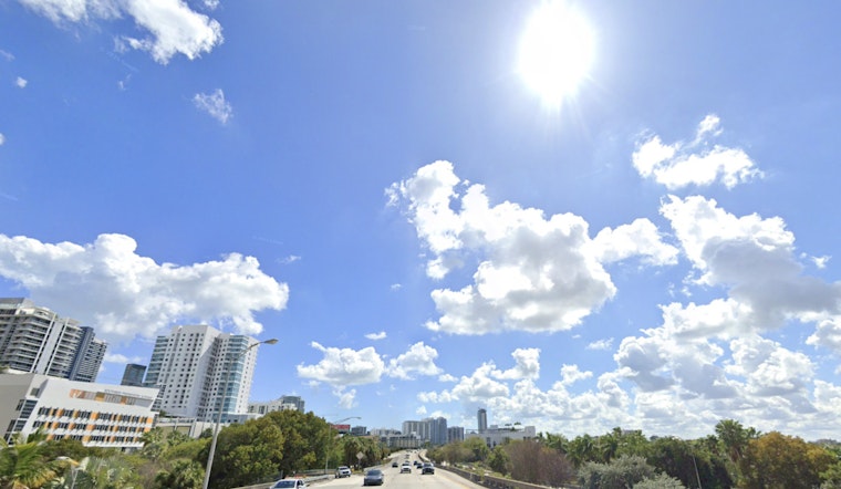
Miami is waking Thursday under clear skies and an already muggy 82 degrees, but the quiet start will not last all day. Showers and thunderstorms are expected to return as temperatures climb, with the heat index reaching about 102 degrees across the city.
Storm Chances Rise As Winds Pick Up
Thursday's high should reach 87 degrees, with a roughly 50% chance of showers and thunderstorms. East winds will run 13 to 16 mph and could gust to 21 mph, while the heaviest and most frequent storms are expected inland and across southwest Florida.
Rain chances remain at about 40% Thursday night as skies turn partly cloudy and temperatures fall only to around 82 degrees. Friday looks much the same, with a high near 88, heat-index values up to 104 and another 50% chance of showers and thunderstorms.
Beachgoers Face A Dangerous Rip-Current Setup
The National Weather Service is warning of dangerous rip currents along coastal Miami-Dade, Broward and Palm Beach counties from 8 a.m. Thursday through Saturday morning. Anyone heading into the Atlantic should swim near a lifeguard and follow posted beach flags.
If a rip current catches you, officials advise staying calm, floating and swimming parallel to shore rather than fighting directly against the current. Signal for help if you cannot escape, because even strong swimmers can be pulled into deeper water.
Hotter Days Arrive Early Next Week
Saturday and Sunday should bring highs near 88 with mostly sunny skies and lower rain chances, although a few afternoon storms remain possible. The warming trend continues Monday and Tuesday, when highs are forecast near 90 and 91 degrees, respectively, with only a slight chance of a passing storm.





