

























































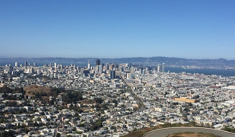
San Francisco is starting today with a cool, mostly cloudy marine layer and temperatures around 58 degrees, but the gray should give way to brighter skies by late morning. The city is headed for a high near 72, with the warmest stretch arriving around early afternoon before temperatures ease back toward the upper 60s. Rain is essentially off the table, with the chance staying at 1% or less.
Sun Arrives Before The Breeze
Temperatures will climb through the 60s this morning before skies turn mostly sunny around midday, according to the National Weather Service San Francisco. Southwest winds will start light and build to 9 to 12 mph later in the day, with gusts up to 18 mph. A light jacket still makes sense near exposed waterfronts and on evening walks.
Cooler Monday, Mild Rest Of Week
Tomorrow brings a cooler high near 68 with mostly sunny skies, west-southwest winds of 7 to 15 mph and gusts as high as 21 mph. Tuesday and Wednesday rebound to around 69 and 72, while Thursday through Saturday settle into the upper 60s. Overnight lows will remain fairly steady in the upper 50s.
Inland Heat Stays A Few Miles Away
San Francisco will stay comfortable, but inland Bay Area communities will be warmer today, generally reaching the 80s and 90s, with the hottest interior spots potentially pushing toward triple digits. The weather service says warm, dry conditions will continue above the low clouds, while the marine layer keeps coastal and bayside neighborhoods closer to seasonal averages. That familiar Bay Area split means a short drive inland could feel like a different season.
Small Craft Advisory Continues Offshore
There are no watches or warnings for San Francisco, but boaters heading into the outer waters should note that a Small Craft Advisory remains in effect through early tomorrow for waters from Point Arena to Point Reyes, 10 to 60 nautical miles offshore. The National Weather Service expects fresh to strong northwest breezes in those waters, with reduced visibility possible along the Big Sur Coast because of the Timber Fire. For most city plans, the takeaway is simpler: dry skies, a sunny afternoon and a breeze that returns once the sun starts to fade.





