

























































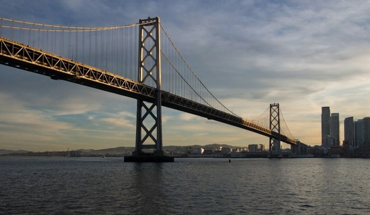
Westbound commuters crossing into San Francisco this weekend will find the carpool lanes near the Bay Bridge toll plaza squeezed down as Caltrans installs a temporary flood barrier known as a Tiger Dam. The work begins Friday and runs again Saturday, both days from 7 a.m. to 3 p.m., as crews lay down a water-filled tube system designed to keep rising water off the roadway.
What the Tiger Dam Does
According to San Francisco Chronicle reporter Rachel Swan, Caltrans crews will lay 650 feet of reusable stacking piping along the lanes approaching the toll plaza. The agency says the system serves the same water-containment purpose as sandbags, but unlike sandbags it's reusable and will avoid winding up in a landfill. ABC7 News similarly describes the barrier as a Tiger Dam that functions much like sandbagging an area, confirming the Friday start and the same 7 a.m. to 3 p.m. window on both days.
During the installation, westbound traffic will be squeezed into the remaining open lanes, and Caltrans has warned motorists they may encounter closures in the two far-right westbound I-80 lanes leading to the bridge. The agency says the restrictions could cause delays, and it could impose additional restrictions as needed depending on how the work proceeds. More than 250,000 vehicles cross the Bay Bridge daily, making even a partial lane squeeze noticeable to regional traffic.
A Preventive Move Ahead of More Storms
Caltrans spokesperson Pedro Quintana said the agency is taking preventive rather than reactive measures, and officials have said they prefer temporary lane restrictions to closing an entire freeway segment the next time heavy rain hits. The barrier installation is part of a broader mitigation push Caltrans launched this week across Bay Area freeways ahead of forecast El Niño storms. Caltrans crews are also preparing the Bay Bridge corridor for another round of storms and heavy tides expected next week.
That urgency follows recent flooding that has already disrupted Bay Area roads. Heavy rains flooded Interstate 580 in Richmond, and separate downpours flooded the on- and off-ramps at Ashby Avenue along Interstate 80 in Berkeley. Caltrans workers are now logging 12-hour shifts at flood-prone locations and monitoring interconnected freeways at the MacArthur Maze and Highway 101 for similar trouble.
Doolittle Drive and Highway 37 Also Get Attention
In Alameda, Caltrans is installing temporary rail along Doolittle Drive to divert water away from a route leading to Oakland Airport. The City of Alameda says Doolittle Drive, formally State Route 61, will close in both directions between Harbor Bay Parkway and Langley Street from 6 a.m. to 8 p.m. the same Friday so crews can safely install temporary K-rail barriers. Caltrans District 4 has also flagged potential closures along Doolittle Drive and the Webster/Posey Tubes during king tide events between now and February 2027.
Christine May has said Doolittle Drive has low-lying segments vulnerable to high water, and that tides may exceed nine feet for six or seven consecutive days next week. She's warned that flooding on the corridor could trigger disruption to holiday travel if the barriers don't hold up. In the North Bay, Caltrans previously closed a long stretch of Highway 37 to raise sections of the roadway by three feet after tidewater eroded an embankment, work the agency has tied to emergency preparedness for El Niño storm conditions.
Looking Decades Ahead
The toll-plaza fix is a short-term patch, but Caltrans is also studying how rising sea levels, king tides and stronger storms could reshape risks to the Bay Bridge and surrounding infrastructure over the coming decades, per ABC7's earlier reporting. Randolph Belle has said projections point to as much as six feet of sea-level rise over the next 75 years. Caltrans has characterized its recent tours of vulnerable areas near the toll plaza as part of long-term planning rather than an immediate construction effort.
The stakes extend beyond the bridge itself. A separate report cited by the San Francisco Chronicle found that SFO, the Bay Bridge, Highway 101 and other critical California infrastructure are vulnerable to exceptional flooding and erosion this winter. San Francisco officials have likewise been deploying flood barriers, stocking sandbags and clearing storm drains in parts of the city as storms continue to roll through the region, according to ABC7's live coverage.





