

























































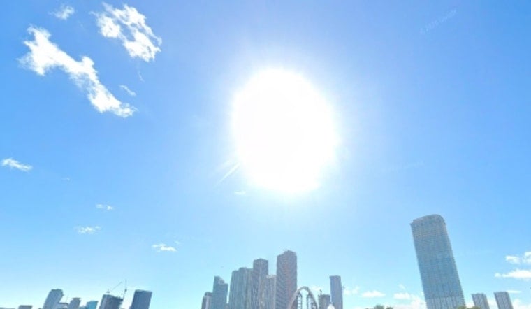
Miami's Saturday is starting deceptively calm: clear skies and temperatures around 84°F at Miami International Airport, with a humid easterly breeze. The quiet opening is expected to give way to a wetter, stormier day, with a high near 89°F and heat index values reaching 106°F.
Showers and thunderstorms could develop along the East Coast before 11 a.m., with the best chance of storms arriving between 11 a.m. and noon before activity becomes more scattered through the afternoon. The National Weather Service Miami office puts Saturday's rain chance at 60%.
Storm coverage is expected to spread inland later in the day, but Miami and other coastal communities could still see sudden downpours, frequent lightning and gusty winds. Stronger storms across South Florida may produce wind gusts of 40 to 55 mph or small hail, while heavier rain is more likely to pile up across interior and southwest Florida.
Storms Keep Hanging Around Through Next Week
Saturday night stays muggy, with showers and thunderstorms likely, a low near 84°F and another 60% chance of rain. Sunday brings a high near 88°F, a heat index up to 106°F and another round of likely showers and thunderstorms, while nighttime temperatures remain in the low 80s.
The unsettled pattern is expected to continue Monday through Thursday, with highs around 88°F to 89°F and daily storm chances ranging from 60% to 80%. Friday remains hot near 89°F, with showers and thunderstorms still possible before and during the afternoon.
No Advisories Are Posted, But Lightning Still Matters
No watches, warnings or advisories are currently listed for Miami. Even so, beachgoers, boaters and anyone planning outdoor activities should keep shelter nearby, because storms can bring fast-moving lightning, heavy rain and rougher conditions with little notice.



