

























































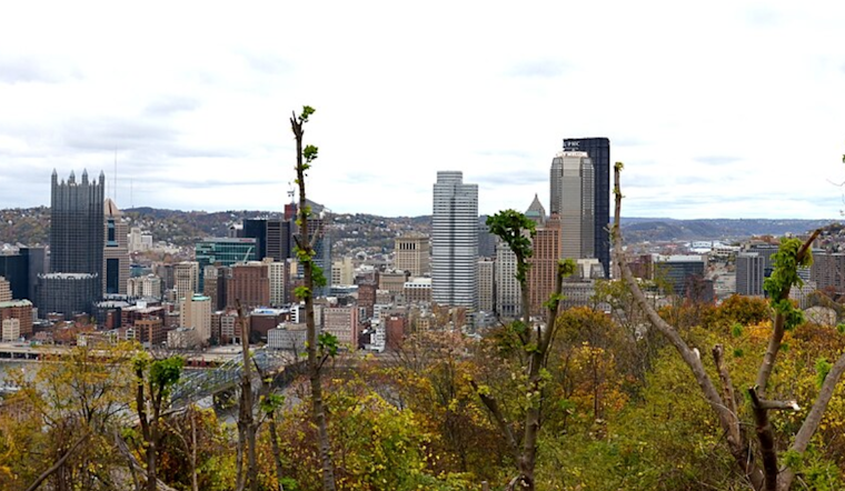
Pittsburgh starts today, August 27, near 64 degrees under mostly cloudy skies, but the morning could give way to scattered showers and afternoon thunderstorms. Temperatures should climb to about 83 degrees before the weather turns unsettled later in the day.
Storm Chances Build Thursday Afternoon
The National Weather Service in Pittsburgh expects a few showers before 9 a.m., followed by a better chance for showers and thunderstorms between roughly 1 p.m. and early evening. The rain chance is 40%, with southwest winds of 3 to 8 mph shifting west later in the afternoon.
The storm window is arriving earlier than the outlook described in Hoodline's Wednesday update, which pointed to the main threat after 3 p.m. A few stronger storms are possible, particularly east of Pittsburgh, with lightning and brief gusty winds the main concerns; no watches, warnings or advisories are currently posted.
Foggy Start, Sunny Weekend
Isolated showers or thunderstorms could linger before 8 p.m. Thursday, followed by partly cloudy skies and areas of fog overnight. Friday and Saturday should turn mostly sunny with highs near 83 degrees, while overnight lows dip to around 60 to 62.
Sunday continues the dry stretch with mostly sunny skies and a high near 86. The warm-up keeps going next week, with highs near 88 on Monday and 90 on Tuesday, followed by increasing chances for showers and thunderstorms Tuesday night and Wednesday.



