

























































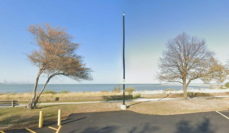
Chicago is waking up to a cool start Monday, with winds calm in portions of northern Illinois and northwestern Indiana early in the morning, temperatures around 52 degrees and mostly clear skies ahead. The city should warm into the upper 60s this afternoon, making for a comfortable late-September day once early fog in parts of the region fades.
Sunny Monday Leads To A Warmer Tuesday
Monday will be mostly sunny, with a high near 69 degrees and light northeast winds around 5 mph. Temperatures may run warmer away from Lake Michigan, while neighborhoods closer to the lake could stay cooler.
Tuesday brings another mostly sunny day and a high near 73 degrees, but patchy fog could develop before 9 a.m. The National Weather Service Chicago office says another round of fog is possible Tuesday morning after light winds and clear skies overnight, so early commuters may want a little extra time.
Rain Chances Build Midweek
Wednesday's cloud cover remains uncertain, and rain may reach parts of the forecast area during the day. Widespread rain is likely from late Wednesday into Thursday across the Chicago area.
Widespread rain is likely across the Chicago area during the late Wednesday-through-Thursday period, according to the National Weather Service Chicago.
Cooler, Unsettled Weather Follows
Cooler temperatures should return toward the end of the week, while slight shower chances linger into the weekend.
No watches, warnings or advisories are listed in the current forecast package. For now, Chicago gets a few pleasant days for outdoor plans before Thursday’s rain makes the umbrella the more reliable accessory.




