

























































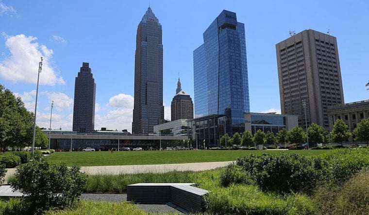
Cleveland woke to clear skies Sunday morning, with a few lake-enhanced showers possible later Sunday morning and afternoon. The high should reach the upper 70s to lower 80s, making the lakefront and neighborhood patios far more inviting than the forecast’s tiny rain footnote suggests.
Sunday Dries Out Quickly
The National Weather Service forecast allows for a few lake-enhanced showers later Sunday morning and afternoon. Northeast winds will build from a few mph in the morning to around 14 mph during the afternoon, so it may feel breezier near Lake Erie than the thermometer suggests. No watches, warnings or advisories are in effect.
Labor Day Stays Sunny
Sunday night should be mostly clear, with lows generally in the 50s and some isolated 40s. Labor Day follows with seasonable weather. The holiday weekend remains seasonable.
Heat And Storms Return Midweek
Tuesday's high should be in the upper 70s to lower 80s, and the forecast does not specifically establish mostly sunny skies. Wednesday brings a brief period of above-average heat, with showers or thunderstorms developing after 2 p.m.; heat index values may reach the low to mid-90s in some spots. Outdoor plans could start summerlike and end with a radar check. June 2025 saw extreme heat and heavy precipitation. Ohio summers include heat and precipitation.
Cooler By Thursday
Rain and thunderstorm chances linger Wednesday night, with cooler weather Thursday into Friday. Saturday currently looks mostly sunny near 79.



