

























































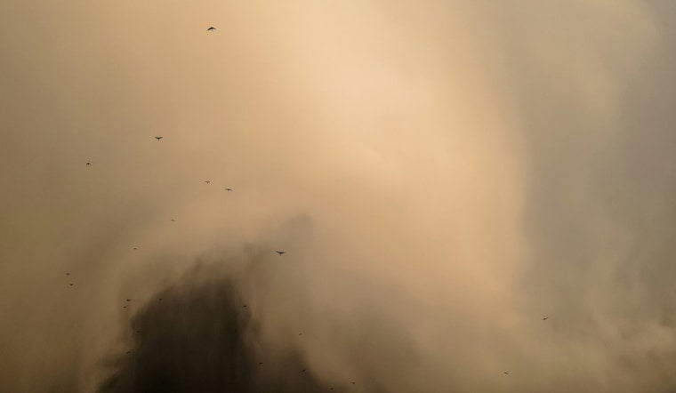
A swirling dust devil tore across a rural roadway and into a cornfield near Covington, Tennessee, catching the eye of a Gatlinburg woman whose camera captured the whole spectacle. Honor Wright recorded the whirlwind as it crossed the road and moved through the field, picking up loose debris along the way before dissipating within minutes.
According to WREG, the dust devil formed outside Memphis in Covington, a small Tipton County community about 40 miles north of the city. The station reports the vortex reached an average height of roughly 500 to 1,000 feet, with a diameter typically ranging from 10 to 300 feet, and that it lasted only a few minutes before dissipating, as is typical for most dust devils. Some locals refer to the phenomenon as a “dirt tornado,” per the same report, though meteorologists say that nickname can be misleading.
Why a Record Heat Wave Set the Stage
The timing lines up with an unusually brutal stretch of weather across the Mid-South. Memphis logged its hottest start to September in 26 years, with consecutive triple-digit days, according to WREG meteorologist Tyler Eliasen. The National Weather Service office in Memphis issued an areawide Heat Advisory for heat index values reaching 100 to 110 degrees, while warning that prolonged dry conditions threaten to worsen regional drought across West Tennessee.
That combination of extreme heat and parched ground is exactly what fuels these ground-up whirlwinds. Dust devils are fair-weather vortices generated when intense solar radiation rapidly heats a localized patch of ground, causing superheated surface air to rise quickly through cooler air above and draw surrounding air inward to spin, per the National Weather Service. Covington and nearby Drummonds sit in Tipton County, a flat agricultural region dominated by corn, cotton and soybean fields, where open, unshaded terrain fosters the surface temperature differentials needed to spark these vortices.
Not a Tornado, Despite the Nickname
Per National Weather Service classifications, dust-filled vortices are generally smaller and less intense than a true tornado. Forecasters explain that dust devils form under clear, sunny skies without any parent storm clouds, while tornadoes descend from rotating supercell thunderstorm clouds — an entirely different atmospheric process. The service also distinguishes dust devils from landspouts, which are non-supercell tornadoes tied to developing cumulus clouds, and gustnadoes, ground-based swirls driven by cold thunderstorm outflow winds rather than solar heating.
Most dust devils produce maximum wind speeds under 45 mph and dissipate in less than a minute, though larger ones can generate winds exceeding 60 mph, strong enough to peel loose metal roofing, toss outdoor equipment or create driving hazards, according to the National Weather Service. Some of the stronger ones can approach weak EF0 tornado intensity, even though they form through a completely different mechanism.
Why the Roadway Mattered
The path the vortex took across the pavement before entering the cornfield wasn't incidental. National Weather Service research notes that dust devils develop frequently along boundaries where surface materials contrast sharply, such as asphalt roadways running beside dry dirt fields, because disparate heat absorption rates create thermal gradients that accelerate rising updrafts. That thermal contrast helps explain why Wright's video shows the whirlwind crossing the road before plowing into the crop rows.
Dust devils are common in arid regions like the American Southwest but remain relatively rare in West Tennessee's humid climate, typically appearing only during late-summer heat waves or intense dry spells, according to Farm Progress. High atmospheric moisture usually dampens the extreme ground heating needed to spin one up, which is part of why footage like Wright's tends to draw attention when it surfaces in the Mid-South.
A Hidden Hazard Beyond the Field
Dust devils aren't just a rural curiosity. Beyond agricultural impacts, the National Transportation Safety Board has reported that dust devils — which can remain invisible until they pick up loose dirt — have contributed to over 170 aircraft accidents since 1982 by causing sudden low-altitude turbulence and rapid loss of lift, a risk Hoodline detailed in coverage of a similar sighting in San Antonio last month. Low-flying aircraft and agricultural crop dusters near open fields are particularly vulnerable to the hidden vortices.
The Covington sighting follows a string of similar whirlwind events reported this summer, including a dust devil spotted in Texas during an August heat wave and a thermally driven “firenado” that spun through southeast Oregon's dry landscape. As the Mid-South's heat wave lingers and drought concerns mount in West Tennessee, meteorologists say the parched, sun-baked ground in places like Tipton County will keep providing the ingredients these fair-weather whirlwinds need to form.





