

























































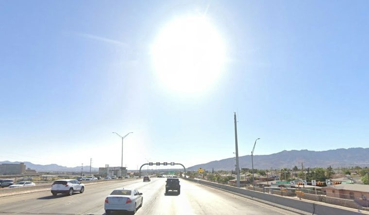
El Paso is starting Sunday with dry, mostly quiet conditions and temperatures around 66 degrees early. The city is headed for a dry, mostly quiet afternoon near 93 degrees before a sharp shift toward storms and cooler temperatures begins Tuesday.
Mostly Quiet Sunday Leads Into Another Hot Monday
After widely scattered early showers and thunderstorms, Sunday afternoon should be dry and mostly quiet, with light winds and a high near 93. Overnight temperatures fall to about 70 degrees.
Monday brings another dry day with a high near 93. Moisture may reach parts of the region late Monday before rapidly returning Tuesday.
Storms Arrive Tuesday With Flash-Flood Risk
Showers and thunderstorms become likely Tuesday, when the high should reach about 85 degrees. Storms persist through nighttime hours under cloudy skies.
The National Weather Service's El Paso office says widespread showers and thunderstorms are expected from Tuesday through Friday morning, with heavy rain creating a flash-flood risk across the region. The threat is expected to favor areas east of the Continental Divide, although El Paso could still see periods of heavy rain, according to the National Weather Service.
Cooler, Wetter Conditions Continue Through Friday
Wednesday remains moist with showers and thunderstorms. Thursday stays unsettled with additional forcing, followed by storms continuing through Friday morning.
There are no watches, warnings or advisories listed for the El Paso forecast area, but residents should stay alert for updated flood guidance once storms move in Tuesday.



