

























































Torrential rain sent rivers rising and floodwaters spilling into streets across southeastern Minnesota, hitting communities that are still rebuilding from a similar disaster just ten weeks earlier.
The flooding, reported by MPR News, came after southeastern Minnesota received more than six inches of rain on Friday, with training thunderstorms parked over the same stretch of ground north of Interstate 90 producing six to seven inches or more in Waseca, Steele, Mower and Freeborn counties. Those storms tracked repeatedly over the same locations Friday evening, according to the outlet's reporting.
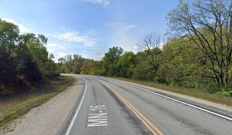
Roughly 100 miles southeast, near the Mississippi River border with Wisconsin, Hokah Police closed the combined Highway 44 and Highway 16 corridor around 4:30 a.m. Saturday because of severe floodwaters, according to Deep Arrival. The closure also cut off access to nearby Como Falls Park, the outlet reported.
Flood warnings named Beaver Creek Valley State Park, per a report from Midwest Storm Chasers.
Rivers Rising Toward Flood Stage
The Root River is projected to rise above 15 feet in Houston County and is expected to reach minor flood stage there, per MPR News, while the Cedar River had already reached 18 feet near Lansing in Mower County. Those river levels are expected to stay elevated through the weekend and could continue rising as the water works its way downstream.
A flood watch remained in effect through 1 p.m. Saturday for Mower, Fillmore and Preston counties, the outlet reported, while National Weather Service flood watches issued ahead of Friday's storm had covered a seven-county corridor in Minnesota, according to Minnesota News Network. Olmsted County includes Rochester, the region's largest population center. Southeastern Minnesota itself is expected to avoid another major round of rainfall, though northeast Iowa and southwest Wisconsin could see additional thunderstorms Saturday afternoon and evening, per MPR News.
Dry Ground, Fast Runoff
The flooding occurred amid drought conditions across the state. A U.S. Drought Monitor report released September 17 classified 38% of Minnesota in moderate drought and 28% in severe drought, according to the Minnesota Department of Natural Resources. The DNR says multiple rainfall events replenish soils more efficiently than one heavy event.
This is not the first time this year that these same counties have flooded. Between June 28 and July 8, severe storms dumped over 11 inches of rain on Austin and Spring Valley, and Mower County required water rescues during that earlier event, as Hoodline previously reported. Governor Tim Walz responded by authorizing state emergency disaster assistance on August 21 for six counties, including Fillmore, Houston and Mower, to rebuild public roads, bridges and other infrastructure damaged in that early summer round of storms.
What State Aid Can — and Cannot — Cover
That aid flows through a specific legal channel. Under Minnesota Statute Chapter 12B, the state runs a Public Disaster Assistance program that provides assistance to local governments for eligible infrastructure repairs, according to the Minnesota Revisor of Statutes. The program covers public roads, bridges and other government-owned infrastructure — it does not compensate individual homeowners for property losses. The related Disaster Assistance Contingency Account was established in 2014.
For now, flooding has closed roads in the region while the Root and Cedar rivers continue to rise.





