

























































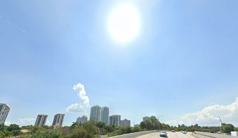
Miami woke Monday to clear skies, calm winds and muggy conditions at Miami International Airport. The quiet start will give way to another hot afternoon, with storms returning after lunch and a wetter pattern taking over by midweek.
Monday Starts Sunny Before Storms Return
Mostly sunny skies should hold through early afternoon before scattered showers and thunderstorms develop after 2 p.m. Monday. The high will reach the upper 80s, with heat index values as high as 103 and a 50% to 60% chance of rain, according to the National Weather Service in Miami.
Storm activity is expected to focus mainly across interior South Florida, though some cells could push toward the coast. The strongest storms may bring frequent lightning, brief heavy downpours and gusty winds.
Tuesday Brings More Storms
Tuesday will be similar to Monday, with a high near 89 and scattered showers and thunderstorms. Scattered activity is expected through Tuesday afternoon as easterly winds become slightly breezier.
Tuesday night stays warm and unsettled, with elevated chances of showers and thunderstorms before skies become partly cloudy. The low will settle in the mid to upper 70s along the east coast metro, offering little relief from the humidity.
Midweek Turns Noticeably Wetter
The forecast takes a sharper turn Wednesday through Friday, when rain chances rise to roughly 75% to 80% each day. Highs will remain in the upper 80s, but a breezier northeast flow is expected Wednesday as more frequent storms move across the region.
Showers and thunderstorms are expected during both the daytime and overnight hours Wednesday and Thursday. That could mean more interruptions for commutes, outdoor work and beach plans, especially when lightning or sudden heavy rain develops.
Weekend Plans Need Flexibility
The unsettled pattern is expected to continue into the weekend, with rain chances around 70% to 80% from Friday through Sunday. Temperatures will still climb to the upper 80s, while overnight lows range from the low to mid-70s in southwest Florida to the mid- to upper-70s along the east coast metro.
The latest update extends the stormy outlook described in an earlier Hoodline forecast, with the biggest change arriving in the wetter middle of the week.
Heat And Lightning Still Matter
No watches, warnings or advisories are currently posted for Miami-Dade County. Still, residents should take the heat seriously, drink water and move indoors when thunder is heard, since stronger storms can produce dangerous lightning, sudden wind gusts and sharply reduced visibility.



